
What is recorded here
The 1st. edition OS 6-inch map (1838) shows as a millrace , a watercourse that flows E from the Camac river parallel to the Liffey. This watercourse is shown on Speed's map (1610). This mill served as a mill which in the Nineteenth centruy is called Usher's flour mill (De Courcey, 1996, 403-404).
The monument record does not grant public access. Check the route and ask the landowner before entering private land.
- What survives
- Recorded monument
Places near here
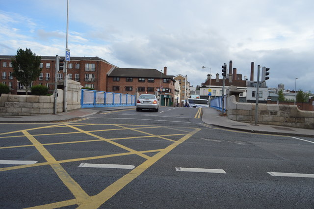 Rory O'More Bridgebridge · 49 yd
 Rory OMoore BridgeBridge · 49 yd
 Croppies Acre MemorialMemorial · 194 yd
 Burial ground in Unknown TownlandBurial ground · 195 yd
 European PearEuropean Pear · 303 yd
 National Museum of Ireland (Decorative Arts & History)Museum · 324 yd
 National Museum of Ireland, Collins BarracksMuseum · 329 yd
 CastleCastle, unclassified · 359 yd
 Royal BarracksBarracks · 378 yd
 Ludwig WittgensteinMemorial · 531 yd
 London PlaneLondon Plane · 1058 yd
 Bus Route InformationVisitor information · 1138 yd
Other information
Photo: Credit not shown in the picture search · Rights wording not checked; contact us if this picture should be removed