What is recorded here
The precise location of a medieval watermill located on John's Lane West and N side of Thomas Street which was one of 4 watermills (DU018-020226-/0096-/0230-) in the possession of St John the Baptist's Hospital (DU018-020062-) has not been identified. Saint John's House was in possession of the watercourse (DU018-020374-/0739-) which powered 3 watermills located to the W and N of the religious house and is depicted on Speed's 1610 map of Dublin City. A section of this watercourse (DU018-020739-) was excavated in 1995 by Linzi Simpson underneath the NE corner of the National College of Art and Design on the S side of Oliver Bond Street and to the W of John Street.
See attached section of Speed's 1610 Map of Dublin City showing the watercourse running along St. Thomas Street between St. Catherine's Church and John's Lane West and 'The mill's'.
Compiled by: Caimin O'Brien
Date of upload: 28 June 2023
The monument record does not grant public access. Check the route and ask the landowner before entering private land.
- What survives
- Recorded monument
Places near here
 National College of Art and Designoffice · 21 yd
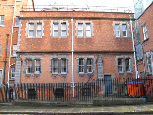 John's Lane Priorypriory · 32 yd
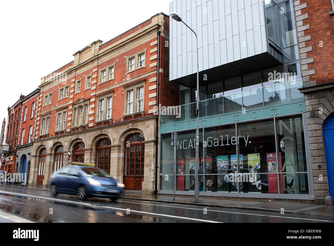 NCAD GalleryGallery · 42 yd
 Medieval DublinVisitor information · 215 yd
 Gairdín Súgartha i gCuimhne ar na Páistí a Cailleadh in 1916Memorial · 217 yd
 Medieval City Wall and St. Audeon's ArchHeritage attraction · 297 yd
 Cross-slab in Unknown TownlandCross-slab · 298 yd
 Font in Unknown TownlandFont · 298 yd
 European PearEuropean Pear · 428 yd
 Croppies Acre MemorialMemorial · 776 yd
 CastleCastle, unclassified · 936 yd
 London PlaneLondon Plane · 1153 yd