What is recorded here
Watermill marked on Down Survey on River Dolla adjacent to a 'castle'. The 'castle' has been identified as the foundations of a tower house (TN027-163001) adjacent to the river. Closeby, N of the site, two millstones were recovered from the land. One, with a central perforation, is now missing. The other stone, without a central perforation, is in the nearby farmyard. It is of limestone, painted grey (diam. 0.58m; T 0.1m). According to the landowner large wooden planks were removed from this stretch of river during river works, they were probably the remains of the mill.
The above description is derived from 'The Archaeological Inventory of County Tipperary. Vol. 1 - North Tipperary' compiled by Jean Farrelly and Caimin O'Brien (Dublin: Stationery Office, 2002). In certain instances the entries have been revised and updated in the light of recent research.
Date of upload/revision: 22 September 2008
The monument record does not grant public access. Check the route and ask the landowner before entering private land.
- What survives
- Recorded monument
Places near here
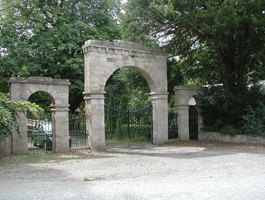 Kilboy Housedemesne walls/gates/railings · 584 yd
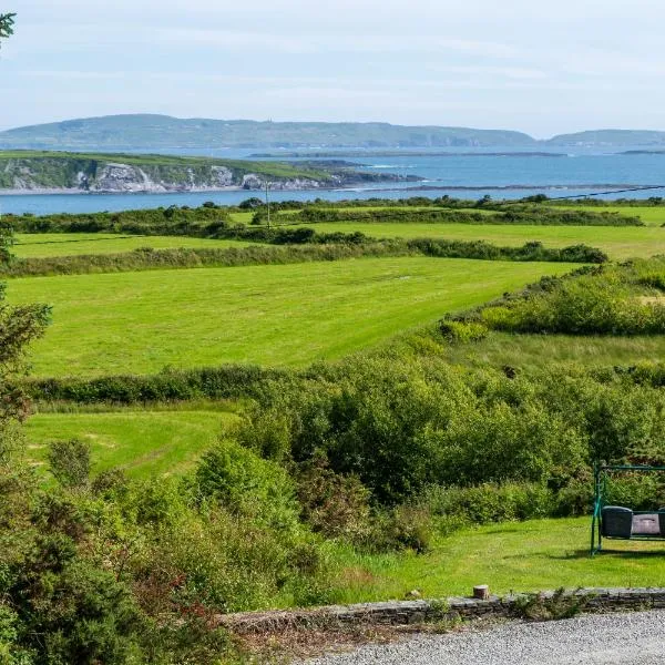 ToberanureHoly well · 773 yd
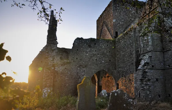 Enclosure in KilriffetEnclosure · 1296 yd
 Dolla Garda Síochána Stationgarda station/constabulary barracks · 1536 yd
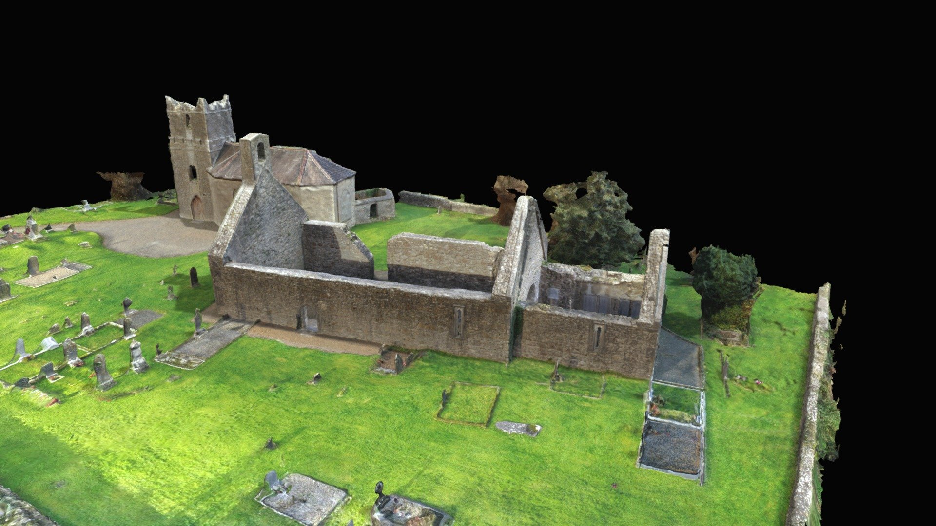 CastleCastle, Anglo-Norman masonry castle · 1.5 mi
 Sweet ChestnutSweet Chestnut · 1.5 mi
 Site of Bawn CastleCastle, unclassified · 1.7 mi
 Gibbet HillMountain / peak · 2.1 mi
 Our Lady Assumed into HeavenMemorial · 2.4 mi
 The MinerMemorial · 2.4 mi
 Silvermines ViewpointViewpoint · 2.5 mi
 Silvermine Mountains E TopMountain / peak · 3.5 mi