What is recorded here
A water mill is marked on the Down Survey on the River Dolla adjacent to a castle (TN027-163002) and deserted settlement (TN027-163). According to the landowner large wooden planks were removed from this stretch of river during river work. Nearby to the N of the site, two millstones, one unfinished, were recovered from the land. One, with a central perforation, is now missing. The other stone, without a central perforation, is in the nearby farmyard. It is of limestone, painted grey (diam. 0.58m; T 0.1m). The size of the millstone accords well with others recovered from horizontal water mills.
Compiled by: Caimin O'Brien.
Date of upload: 22 September 2008
The monument record does not grant public access. Check the route and ask the landowner before entering private land.
- What survives
- Recorded monument
Places near here
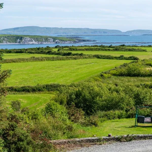 ToberanureHoly well · 919 yd
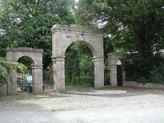 Kilboy Housedemesne walls/gates/railings · 1039 yd
 CrossCross, High cross · 1337 yd
 Dolla Garda Síochána Stationgarda station/constabulary barracks · 1.1 mi
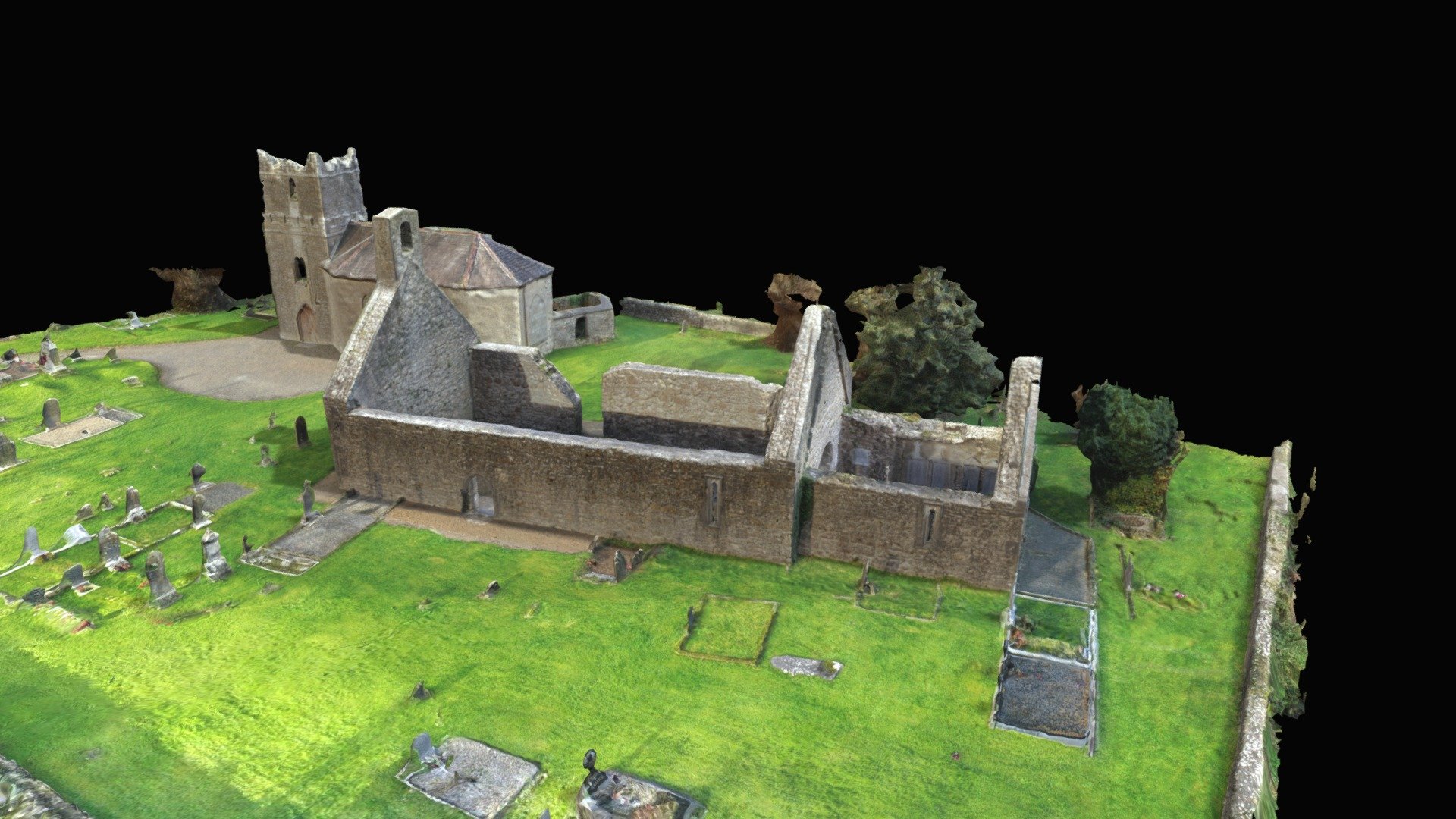 CastleCastle, Anglo-Norman masonry castle · 1.2 mi
 Monaquill Ho.Castle, unclassified · 1.5 mi
 Sweet ChestnutSweet Chestnut · 1.7 mi
 Gibbet HillMountain / peak · 1.9 mi
 Our Lady Assumed into HeavenMemorial · 2.7 mi
 The MinerMemorial · 2.7 mi
 Silvermines ViewpointViewpoint · 2.8 mi
 Ballincurra HillMountain / peak · 3.5 mi