What is recorded here
The precise location of a watermill within the townland of Skoolhill or Skool has not been identified. The mill may have been located along the N bank of the Camoge River which runs along the S boundary of the townland of Skool. The 1654-56 Civil Survey of Limerick recorded that on the lands of William Stretch late of Limerick there stood in Scoole 'a Castle [LI022-106----], a Mill Seate & 8 Cabbins' (Simington 1938, 107). Cropmarks of levelled castle (LI022-106----) and bawn (LI022-106001-) visible on OSi aerial photographs.
Compiled by: Caimin O'Brien
Date of upload: 2 March 2020
The monument record does not grant public access. Check the route and ask the landowner before entering private land.
- What survives
- Recorded monument
Places near here
 Field system in SkoolhillField system · 415 yd
 Skool HillMountain / peak · 601 yd
 Bawn in SkoolhillBawn · 611 yd
 Banoge's WellSpring · 713 yd
 BarrowBarrow, mound barrow · 770 yd
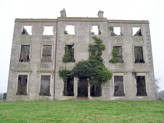 The Grangecountry house · 1149 yd
 Sixmile Bridgebridge · 1533 yd
 Rockstown Castle (in ruins)Castle, tower house · 1.1 mi
 Carnane RockNamed rock · 2.0 mi
 ToberauillinSpring · 2.1 mi
 The SpectaclesVisitor information · 2.5 mi
 Lough Gur Heritage CentreVisitor information · 2.5 mi