
What is recorded here
The Down Survey (1655-6) map shows a mill on the E bank of the riverDodder at Rathfarnham. There is a building marked 'Old Mill' on the1837 OS 6-inch map which was probably the site of this mill. This was demolished late in the 19th century. The mill at Rathfarnham was well documented in medieval times (pers coms. Rob Goodbody).
The monument record does not grant public access. Check the route and ask the landowner before entering private land.
- What survives
- Recorded monument
Places near here
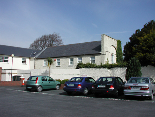 Tourville Lodgegate lodge · 161 yd
 Rathfarnham Churchchurch/chapel · 184 yd
 G. Yd.Graveyard · 210 yd
 Rathfarnham CastleHouse, fortified house · 347 yd
 Old Rathfarnham Castle Gate HouseRuins · 819 yd
 Enclosure in ButterfieldEnclosure · 1077 yd
 Austin Clarke BridgeMemorial · 1622 yd
 WhitecliffVisitor information · 1.1 mi
 Birthplace of James JoyceMemorial · 1.1 mi
 Nature RoomHeritage attraction · 1.2 mi
 La Galerie ImpromptuGallery · 1.5 mi
 European YewEuropean Yew · 1.6 mi
Other information
Photo: Credit not shown in the picture search · Rights wording not checked; contact us if this picture should be removed