
What is recorded here
In November 2018 large oak timbers were noted in an open land drain (D c. 2m) on level ground at the E side of Great Island. It is located c. 70m NE of the large moated site (WX039-019----), on ground that has not been reclaimed since the seventeenth century when the channel was described as a ‘slime’ in the Civil Survey of 1654 (Simington 1953, 181). The timbers became dislodged during 2020, and in 2021 all the timbers were investigated (21E0040) and recorded by C. Moore on behalf of the National Monuments Service. Eleven oak timbers or fragments of oak were recorded and reburied beneath the drain wrapped in geotextile.
Four planks or fragments of planks were present together with a possible wooden wedge. Timber 7 is a roundwood (L 2.24m; diam. 0.16-0.21m), charred at the wider end as if to preserve it if it was set in the ground as an upright. Timber 2 is a roughly square-cut oak (L 2.33m; dims 0.22m x 0.13m) that tapers towards one end where it is broken off and it is roughly pointed at the other end. Timber 1 is a large, square-cut beam (L 6.05m; dims 0.28m x 0.21m) with four mortices and some peg-holes cut in one face. It was probably the base-plate for a wooden wall or shutter, although it is cut through a mortice at one end. Timber 2 produced a dendrochronological date of AD 725 +- 9 years, while Timber 7, which had its sapwood can be dated by the same method to late AD 717 or early the next year.
Timber 1 had been aligned NW-SE at the bottom of the drain and the equally massive Timber 11 (dims 0.3m x 0.2m; L 0.7m plus) remains in situ to the SE beneath marl on the same alignment. There is local knowledge of another large timber on the same alignment c. 4m to the NE. Timber 1 is too large to have been incorporated into an early medieval mill-house and there is no evidence of a millwheel but it is very likely that the large timbers lined the sides of a mill-race or mill-pond. A relict channel approaches from the N at the base of the E-facing slope of the island, and the sunken channel of a water course extends N (L c. 70m) and then E (L c. 40m) from the location of the timbers. A water mill dating from the early eight century would probably have had a horizontal millwheel and would undoubtedly have been associated with the monastery of St Suadbar (WX039-018002-), the ecclesiastical enclosure of which is c. 500m to the W. The location of the water-mill dating from the thirteenth and fourteeenth century recorded in documentary sources (WX039-093----) is not known at the moment. (Moore 2021)
Compiled by: Michael Moore
Date of upload; 28 January, 2013
Amended: 03/12/2020; 04/11/2021
The monument record does not grant public access. Check the route and ask the landowner before entering private land.
- What survives
- Recorded monument
Places near here
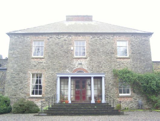 Kilmokea Houserectory/glebe/vicarage/curate's house · 598 yd
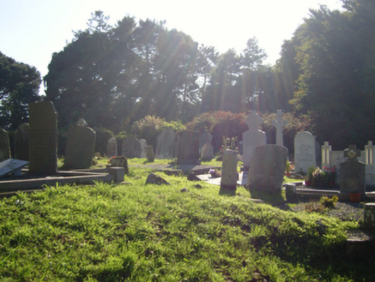 graveyard/cemeterygraveyard/cemetery · 634 yd
 (Site of) Kilmilea ChurchChurch · 643 yd
 IndicatedEnclosure · 702 yd
 Goat IslandIsland · 1334 yd
 Castle (in ruins)Castle, tower house · 1471 yd
 CastleRuins · 1641 yd
 Dunbrody Abbey Visitor CentreHeritage attraction · 1.6 mi
 Dunbrody Abbey Hedge MazeHeritage attraction · 1.6 mi
 Cheek PointHeadland · 1.8 mi
 Campile WWII Bombing MemorialMemorial · 2.0 mi
 The MinaunViewpoint · 2.3 mi
Other information
Photo: Credit not shown in the picture search · Rights wording not checked; contact us if this picture should be removed