What is recorded here
On the Down Survey (1655-6) Fassadining barony map, there is a watermill depicted on the E bank of the River Nore, NW of Ballyragget Castle (KK010-001001-). Carrigan (1905, vol. 2, 86) cites a reference which states that in 1692 Edward Butler was, 'found to have been seised of .....the water mills of Ballyragget'. A 'Flour Mills' is indicated on the 1st (1839) ed. OS 6-inch map at the W end of Ballyragget Bridge and at the S end of a long mill race (L c. 240m). No building is shown there on the 1947 revision, though a flour mill is indicated at this location on the 25-inch OS map. The building has since been removed. The precise location of the 17th-century watermill is unknown.
Compiled by: Jean Farrelly
Date of upload: 28 January 2019
The monument record does not grant public access. Check the route and ask the landowner before entering private land.
- What survives
- Recorded monument
Places near here
 Saint Patrick's Catholic Churchchurch/chapel · 74 yd
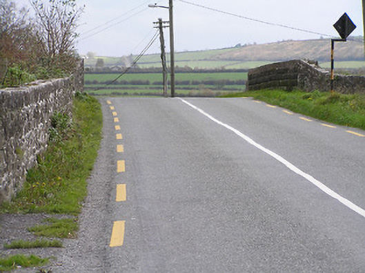 bridgebridge · 185 yd
 Enclosure in BallyraggetEnclosure · 440 yd
 Ballyragget Cas.Castle, tower house · 482 yd
 Enclosure in Donaghmore (fassadinin By.)Enclosure · 744 yd
 Donaghmore WellSpring · 1384 yd
 Graveyard in SraleaghGraveyard · 1.1 mi
 Moat Castle (site of)Archaeological place · 1.1 mi
 Anker's IslandIsland · 2.0 mi
 Emma Jane Browne-ClaytonMemorial · 4.9 mi
 Jenkinstown ParkForest · 4.9 mi
 Red horse-chestnutRed horse-chestnut · 4.9 mi