
What is recorded here
According to Carrigan (1905, vol. 2, 89), 'In the garden of Ballyragget Lodge, adjoining the eastern wall of the castle yard [KK010-001002-], there was formerly a large circular area, enclosed by an earthen rampart, and generally called "a rath;" it was levelled about 1850, and the site converted into what is known as "the bower."'. There is no visible trace of this enclosure at ground level. A row of houses, possibly built over the enclosure, run N-S from the entrance road into the bawn. The rear plots of these houses run up to the external face of the E wall of the bawn.
Compiled by: Jean Farrelly
Date of upload: 12 February 2019
This remains an important historical record, but the official description says the monument is no longer visible or has been destroyed. The monument record does not grant public access. Check the route and ask the landowner before entering private land.
- What survives
- No visible remains or recorded as destroyed
Places near here
 Ballyragget Cas.Castle, tower house · 68 yd
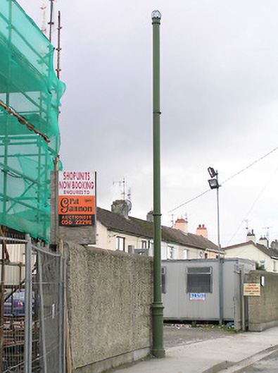 vent pipevent pipe · 99 yd
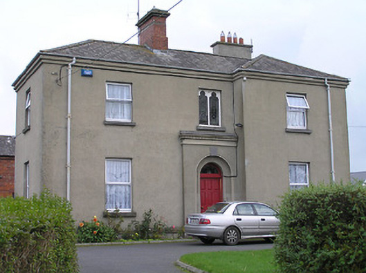 The Presbyteryhouse · 177 yd
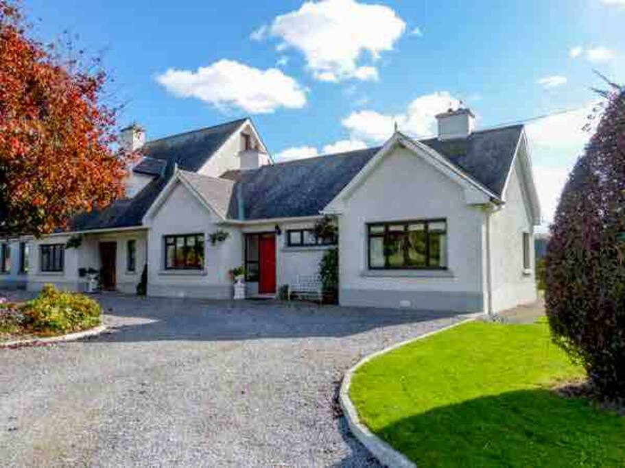 Enclosure in BallyraggetEnclosure · 339 yd
 QuarryEnclosure · 1226 yd
 Donaghmore WellSpring · 1493 yd
 Moat Castle (site of)Archaeological place · 1.2 mi
 Graveyard in SraleaghGraveyard · 1.3 mi
 Anker's IslandIsland · 2.0 mi
 Emma Jane Browne-ClaytonMemorial · 4.6 mi
 Red horse-chestnutRed horse-chestnut · 4.6 mi
 Freshford LoopWalking route · 5.2 mi
Other information
Photo: Credit not shown in the picture search · Rights wording not checked; contact us if this picture should be removed