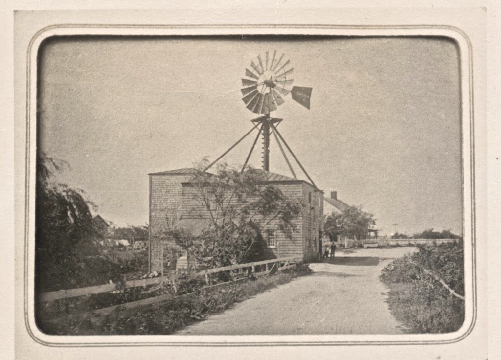
What is recorded here
Described in the Civil Survey (1654-6) as 'a corn-mill upon a Brooke called Tobressy' in the lands of 'Richardstowne' (Simington 1931, vol. 1, 263). This mill is unlocated within the townlands of Ballyrichard and Ballynagrana.
Compiled by: Jean Farrelly
Date of upload: 26 August 2011
The monument record does not grant public access. Check the route and ask the landowner before entering private land.
- What survives
- Recorded monument
Places near here
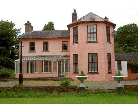 Deerpark Lodgehouse · 205 yd
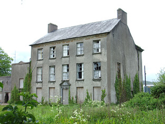 Carrick Househouse · 739 yd
 Maurice DavinMonument · 898 yd
 Town WallTown defences · 1472 yd
 Ormonde CastleHeritage attraction · 1692 yd
 CastleCastle, Anglo-Norman masonry castle · 1696 yd
 Coolnamuck Castke (in Ruins)Castle, tower house · 1.8 mi
 CarrigfenoaghMountain / peak · 2.2 mi
 Thomas KielyMemorial · 2.4 mi
 Coolnamuck Wood WestForest · 2.4 mi
 Churchtown WoodForest · 3.3 mi
 Tower HillMountain / peak · 3.9 mi
Other information
Photo: Credit not shown in the picture search · Rights wording not checked; contact us if this picture should be removed