What is recorded here
According to the terrier (commentary) of the Down Survey parish map of Mayglass (1656-8) there was a fair castle (WX047-01901-), a slate house (WX047-019002-), a large barn, a watermill and seven cabins at Ballycogly. The precise location of the watermill is not known.It may be the structure NE of the castle at the boundary with Leachestown and Ballysheen.
See the attached view from the Down Survey barony map (N at right) reproduced courtesy of the National Library of Ireland (Ms 725).
Compiled by: Michael Moore
Date of upload: 11 October, 2013
The monument record does not grant public access. Check the route and ask the landowner before entering private land.
- What survives
- Recorded monument
Places near here
 Ballycogly Housefarm house · 408 yd
 CastleCastle, tower house · 422 yd
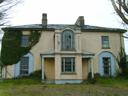 Thorn Villefarm house · 426 yd
 St. Catherines WellHoly well · 573 yd
 Enclosure in BallycoglyEnclosure · 622 yd
 Ballyrane Castle (in ruins)Castle, tower house · 1711 yd
 The Heron's MeadowForest · 1.6 mi
 The Bull RockForest · 1.7 mi
 1798 Memorial PlaqueMemorial · 2.2 mi
 The HamBay · 3.0 mi
 Johnstown Castle Visitor CentreHeritage attraction · 3.3 mi
 Irish Agricultural MuseumMuseum · 3.3 mi