
What is recorded here
Located in the bed of a NW-SE stream where it is visible as timbers prodtruding from the NE bank c. 1.3m below the ground surface. A large oak base-beam (L 2.65m; H 0.4m) is probably from the NE side of the mill pool but a plank (L 2m; Wth 0.42m plus; T 0.1m) from the wall obove it collapsed into the stream in antiquity with a weight of riverbank clay on top of it. The base-beam on the NW side (L 0.8m; dims 0.23m x 0.15m) partially survives in situ. Part of a mill-wheel arm (L 0.77m) had been found at the location in the 1970s and is kept at a nearby house.
Compiled by: Michael Moore
Date of upload: 21 May, 2012
The monument record does not grant public access. Check the route and ask the landowner before entering private land.
- What survives
- Recorded monument
Places near here
 Enclosure in BarraglanEnclosure · 367 yd
 St Molings WellHoly well · 521 yd
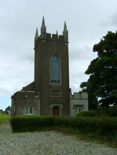 Saint Moling's Church (Monamolin)church/chapel · 624 yd
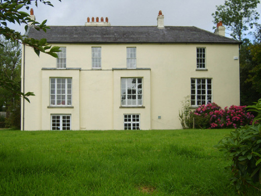 rectory/glebe/vicarage/curate's houserectory/glebe/vicarage/curate's house · 730 yd
 Fontainebleau service treeFontainebleau service tree · 1.9 mi
 Bird BoxesVisitor information · 2.0 mi
 Birds of PreyVisitor information · 2.1 mi
 Father Murphy CentreHeritage attraction · 2.3 mi
 The CoilWood · 2.5 mi
 Carrigroe HillMountain / peak · 2.6 mi
 Giants BedNamed rock · 2.7 mi
 Boley HillMountain / peak · 3.1 mi
Other information
Photo: Credit not shown in the picture search · Rights wording not checked; contact us if this picture should be removed