
What is recorded here
Seven arch railway viaduct over river, c.1849, of rock faced rusticated limestone. Segment arches. Rubble sandstone boundary wall marks location of former south-western river bank.
This does not grant access. Most recorded buildings are privately owned; view them only from public ground unless the owner allows entry.
Places near here
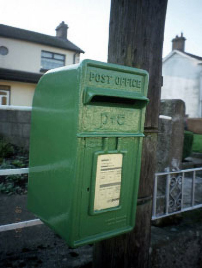 post boxpost box · 100 yd
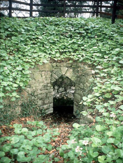 Boyne Cottagewell · 103 yd
 CastleCastle, motte · 232 yd
 CrossCross, Wayside cross (present location) · 417 yd
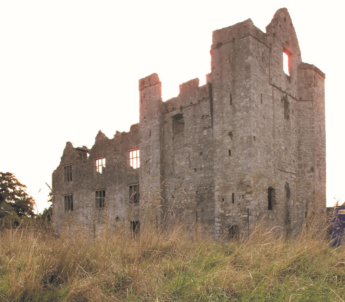 Enclosure in AthlumneyEnclosure · 440 yd
 The RampartWood · 475 yd
 Nangle CourtMemorial · 1.2 mi
 Blackcastle DemesneWood · 1.5 mi
 Donaghmore Round TowerHeritage attraction · 1.6 mi
 Rathaldron Ho.Castle, tower house · 2.1 mi
 Carn HillMountain / peak · 2.3 mi
 BohermeenMountain / peak · 3.9 mi
Other information
Photo: Ian Rob · CC BY-SA 2.0