What is recorded here
Scotland's National Record of the Historic Environment records Via as Schooner (period Unassigned)-(1931). The official map says its point is accurate as follows: NGR given to the nearest 1m. The record does not by itself mean that the public may enter the place.
The *Via* was a schooner wrecked in 1931 near the Scottish coast; though details of its loss, cargo, and casualties are not specified in the record, its precise mapping suggests local historical or nautical significance.
The historic-place record does not grant public access. Check current conditions and ownership before entering land or a building.
Places near here
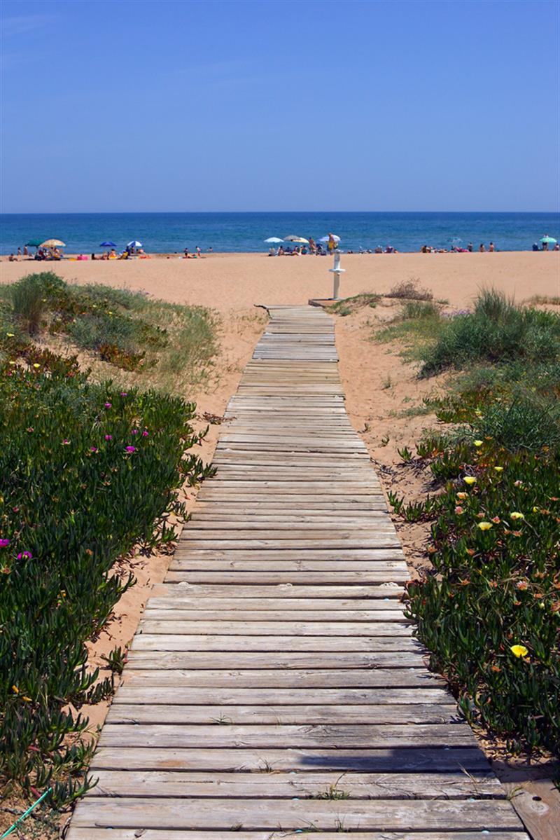 Beach - Costa del CeanfieldBeach / strand · 1.4 mi
 Cranfield PointHeadland · 1.5 mi
 Moore LodgeHouse · 2.8 mi
 Croak BerthanMound · 3.0 mi
 CASTLE & WELL: GREENCASTLE in GreencastleCASTLE & WELL: GREENCASTLE · 3.3 mi
 GreencastleCastle · 3.3 mi
 CHURCH in GreencastleCHURCH · 3.4 mi
 ENCLOSURE: LISGARRON in Benagh UpperENCLOSURE: LISGARRON · 3.5 mi
 Robert Hill Hanna VC - First World War HeroVisitor information · 3.8 mi
 GreenoreVisitor information · 4.3 mi
 Greenore PointHeadland · 4.3 mi
 St James WellSpring · 4.5 mi