What is recorded here
No visible marker remains for the Whitehead urn burial, only a hidden point on an official map. That absence is not emptiness; it is a reminder that Bronze Age hands shaped clay, carried fire, and gave up a person before written records began. The land kept the ceremony while human memory faded, preserving death as a quiet shape beneath ordinary ground.
The official Northern Ireland record identifies this as URN BURIAL (unlocated). Recorded period: PREHISTORIC; BRONZE AGE. The official map point was placed at the centre of the recorded archaeological site from the source map reference.
Bronze Age urn burial; significant as a funerary deposit indicating early ceremonial practices in the Whitehead area.
The monument record does not grant public access. Check the route and ask the landowner before entering private land.
- What survives
- Recorded monument
Places near here
 Presbyterian ChurchChurch · 347 yd
 Methodist ChurchChurch · 464 yd
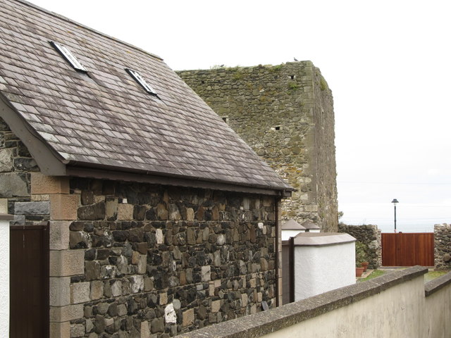 TOWER-HOUSE: CASTLE CHICHESTER in White HeadTOWER-HOUSE: CASTLE CHICHESTER · 710 yd
 ENCLOSURE? (unlocated) in BentraENCLOSURE? (unlocated) · 1.2 mi
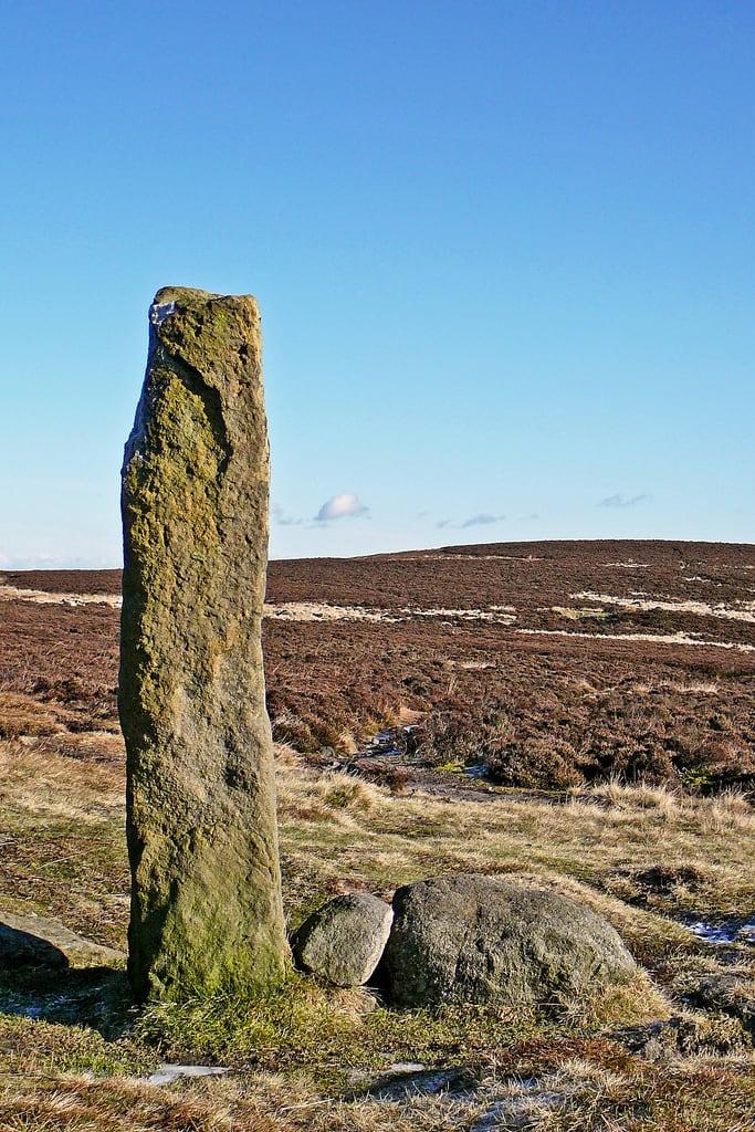 HENGE (?) or HENGIFORM ENCLOSURE (?) (Possible) in DobbslandHENGE (?) or HENGIFORM ENCLOSURE (?) (Possible) · 1.2 mi
 Muldersleigh HillMountain / peak · 1.3 mi
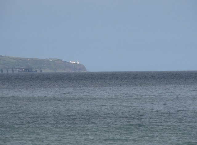 BlackheadHeadland · 1.4 mi
 FORTIFICATIONFORTIFICATION, BAWN · 1.6 mi
 POST-MED CHURCH; MEDIEVAL PARISH CHURCH; GRAVEYARD: TEMPLECORRAN CHURCH or TEMPLE-I-CORRAN or LISLAYNAN in Forthill (ballycarry)POST-MED CHURCH; MEDIEVAL PARISH CHURCH; GRAVEYARD: TEMPLECORRAN CHURCH or TEMPLE-I-CORRAN or LISLAYNAN · 1.7 mi
 the gobbins pathHeritage attraction · 3.3 mi
 Andrew Jackson Cottage and US Rangers CentreHeritage attraction · 3.4 mi
 Otter CaveCave · 3.8 mi