What is recorded here
In the Bronze Age, people placed their dead in urns within Lavin Lower or Lavin Upper, trusting the soil to hold what fire had changed. The urn may have stood open to rain or lain buried beneath grass, but either way it marked a boundary between the living and those who stopped wanting things. The exact spot has slipped from human memory, yet the act remains clear: someone shaped clay, carried it through darkness, and gave up a body to the earth.
The official Northern Ireland record identifies this as URN BURIAL (O.S. memoir site; unlocated). Recorded period: BRONZE AGE; PREHISTORIC. The official map point was placed at the centre of the recorded archaeological site from the source map reference.
Bronze Age urn burial; prehistoric funerary practice. Significance lies in its representation of early burial customs, though its exact location and broader archaeological context remain unclear.
The monument record does not grant public access. Check the route and ask the landowner before entering private land.
- What survives
- Recorded monument
Places near here
 possible MOTTE SITE; MULTIPERIOD CASTLE SITE: LISANOURE CASTLE or LOUGH GUILE CASTLE or LOUGH KEOULLE in Castlequarterpossible MOTTE SITE; MULTIPERIOD CASTLE SITE: LISANOURE CASTLE or LOUGH GUILE CASTLE or LOUGH KEOULLE · 847 yd
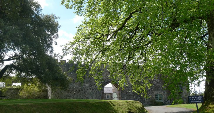 Lisanoure CastleCastle · 862 yd
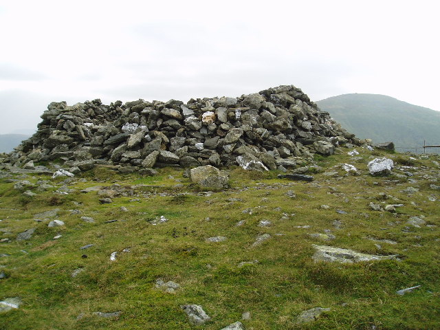 LARGE ENCLOSURE in DrumbestLARGE ENCLOSURE · 1.9 mi
 Ballylough Big HillMountain / peak · 2.0 mi
 LARGE ENCLOSURE in Mount HamiltonLARGE ENCLOSURE · 2.3 mi
 SlievenahanaghanMountain / peak · 3.4 mi
 Slieveanorra ForestForest · 4.5 mi
 Causeway Coast and Glens Heritage TrustVisitor information · 5.7 mi
 PRE-NORMAN CHURCH & ROUND TOWER; MEDIEVAL PARISH CHURCH; POST-MEDIEVAL CHURCH & GRAVEYARD: ARMOY CHURCH & ROUND TOWER in GlebePRE-NORMAN CHURCH & ROUND TOWER; MEDIEVAL PARISH CHURCH; POST-MEDIEVAL CHURCH & GRAVEYARD: ARMOY CHURCH & ROUND TOWER · 6.0 mi
 The Dark HedgesViewpoint · 6.3 mi
 Gracehill HouseHouse · 6.5 mi
 Breen ForestForest · 6.6 mi