What is recorded here
Overgrowth in Gleann an Mháma has swallowed most of Ulta Beaga, leaving a rectangular stone-walled shadow where a D-shaped open grave field once stood. The western graves and the Joyce plot remain visible beside the stream, while the eastern soil keeps its older unnamed dead under grass and forgetting.
In the centre, towards N end, of Gleann an Mháma with a stream and townland boundary immediately to W. This graveyard, correctly Ulta Beaga, is indicated on 1st ed. of OS 6-inch map as a D-shaped unenclosed graveyard (c. 25m by c. 15m). Now rectangular in plan and enclosed by a stone wall. Interior is very overgrown: graves are concentrated at W end, the earliest gravestone dating to 1848. There is a rectangular Joyce family plot at NW, enclosed by stone wall and hedge. Originally a CBG, according to T. Robinson (pers. comm.).
The above description is derived from the published 'Archaeological Inventory of County Galway Vol. I - West Galway'. Compiled by Paul Gosling (Dublin: Stationery Office, 1993).
Date of upload: 05 August 2010
The monument record does not grant public access. Check the route and ask the landowner before entering private land.
- What survives
- Recorded monument
Places near here
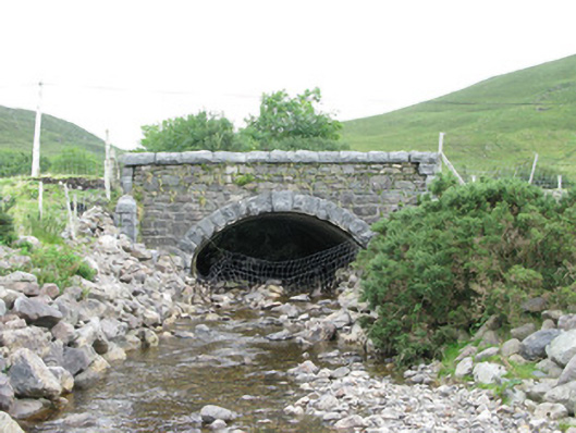 bridgebridge · 671 yd
 Tobernashaght-ninneenHoly well · 1382 yd
 WaterfallHeritage attraction · 1.1 mi
 RinavoreMountain / peak · 1.3 mi
 Leenaun HillMountain / peak · 1.4 mi
 The Sheep And Wool Heritage CentreHeritage attraction · 2.1 mi
 TobermurryHoly well · 2.1 mi
 Céibh an Lionáinharbour/dock/port · 2.4 mi
 Aasleagh WaterfallWaterfall · 3.3 mi
 HawthornHawthorn · 4.4 mi
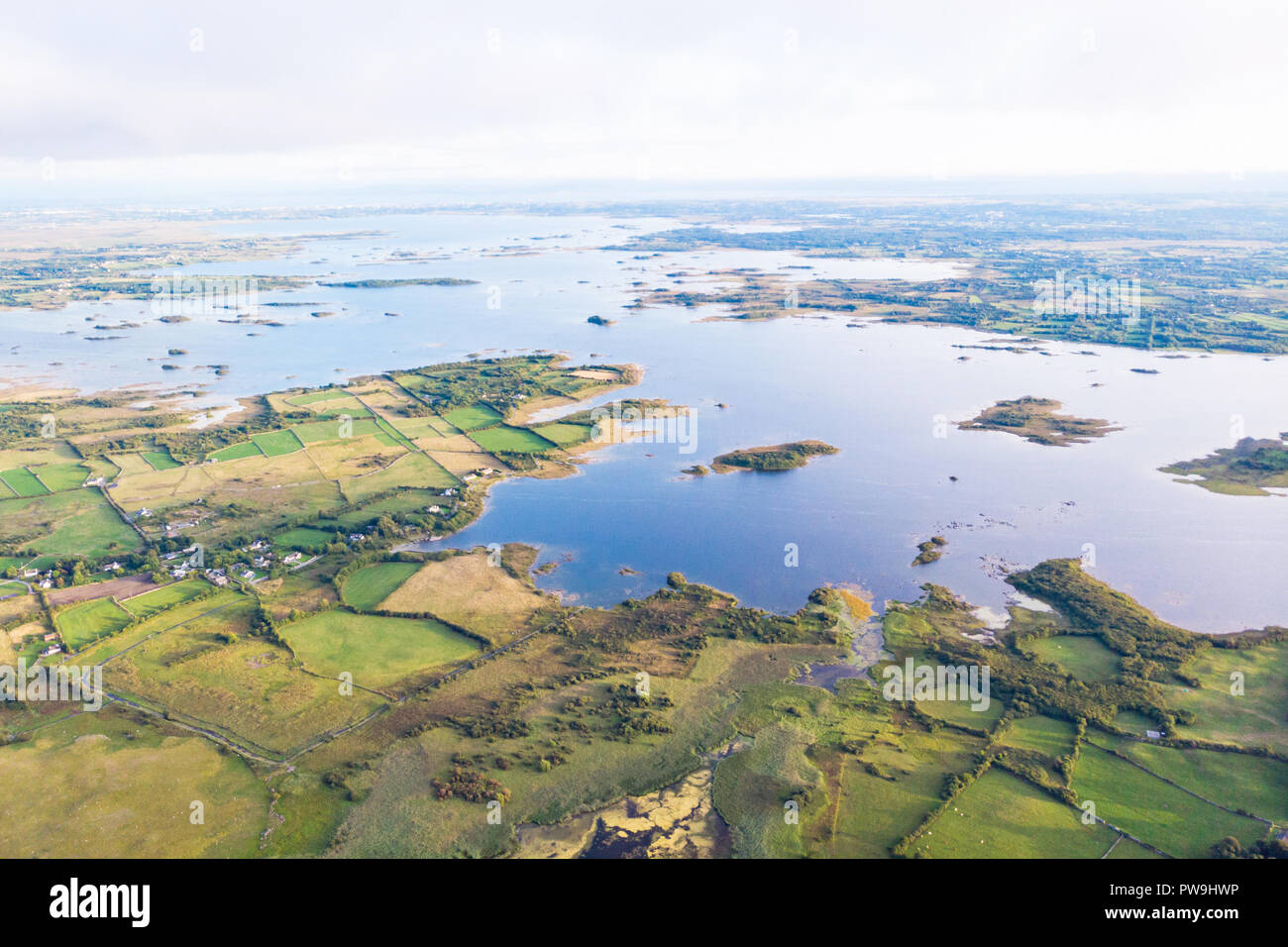 Red IslandIslet · 5.0 mi
 Crows IslandIslet · 5.1 mi