What is recorded here
Beech trees from the former Tyredagh estate still surround a small D-shaped ditch on a western slope, marking a place where children were buried before adults. Moss smothers low stones inside, while rough steps cut into the northern bank invite visitors down from the road. The ground has waited patiently beneath grass and shade, keeping its quiet purpose unchanged since the nineteenth century.
On a gentle W-facing slope, in the NW corner of an improved pasture field, enclosed by mature beech trees of the former Tyredagh estate, affording limited views of a gently undulating landscape. Listed as 'Burial Ground' in the SMR (1992) and the RMP (1996). The monument is depicted and named ‘Tyredagh Burial Ground for Children’ on the 1842 OS 6-inch map and as ‘Tyredagh Children’s Burial Ground’ on the 1920 OS 6-inch map. It consists of a D-shaped area (18m E-W; 13m N-S) defined by a low earthen and stone scarp (Wth 0.4m; H 0.2m) E-W. The scarp (Wth 0.5m; H 0.4m) is best preserved S-W, on the downslope where it compensates for the hillslope. The monument is defined to N by an earthen field boundary (long axis E-W). This boundary is along the tertiary road where there are a set of steps (H c. 2m) built into its exterior elevation, leading from the road to the interior of the burial ground. The interior is covered in low, uninscribed, moss-covered gravemarkers (H 0.4m). Some of these are slightly higher and more obvious than others and are notably E-facing. Some trees define the edge of the burial ground and occasional trees grow within the interior.
The following images have been uploaded:
CL027-020----_01.jpg From E. General view of monument.
CL027-020----_02.jpg From E. Most obvious E-facing upright marker.
CL027-020----_03.jpg From N. Steps at roadside to access children’s burial ground.
Compiled by: Mary Tunney, Alison McQueen and Vera Rahilly
Date of upload: 26 November 2018
The monument record does not grant public access. Check the route and ask the landowner before entering private land.
- What survives
- Recorded monument
Places near here
 Tyredagh Castle (in ruins)Castle, tower house · 360 yd
 Enclosure in AffickEnclosure · 1179 yd
 IndicatedFairy fort / stone ringfort · 1206 yd
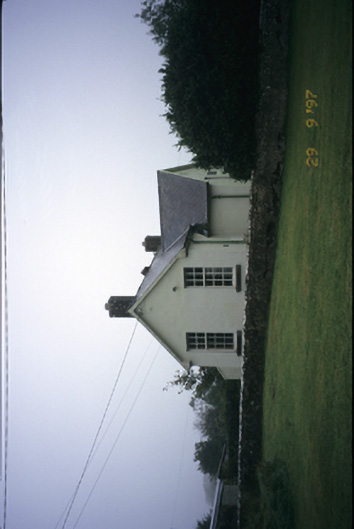 Scoil Náisiúnta Macaireschool · 1483 yd
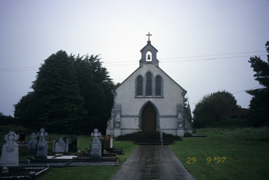 Saint Stephen's Catholic Churchchurch/chapel · 1520 yd
 Milltown Castle (in ruins)Castle, tower house · 1671 yd
 The StablesGallery · 2.2 mi
 Derrymore WoodWood · 2.8 mi
 Cloghleagh RockNamed rock · 4.0 mi
 Kilcatherine GraveyardWood · 4.4 mi
 Mulkere MemorialMemorial · 5.2 mi
 Quin AbbeyHeritage attraction · 5.3 mi