What is recorded here
Road bridge (Wth 6.7m) over Tourig river, crossing county bounds. Four semicircular arches; pointed breakwaters.
The above description is derived from the published 'Archaeological Inventory of County Cork. Volume 2: East and South Cork' (Dublin: Stationery Office, 1994). In certain instances the entries have been revised and updated in the light of recent research.
Date of upload/revision: 14 January 2009
The monument record does not grant public access. Check the route and ask the landowner before entering private land.
- What survives
- Recorded monument
Places near here
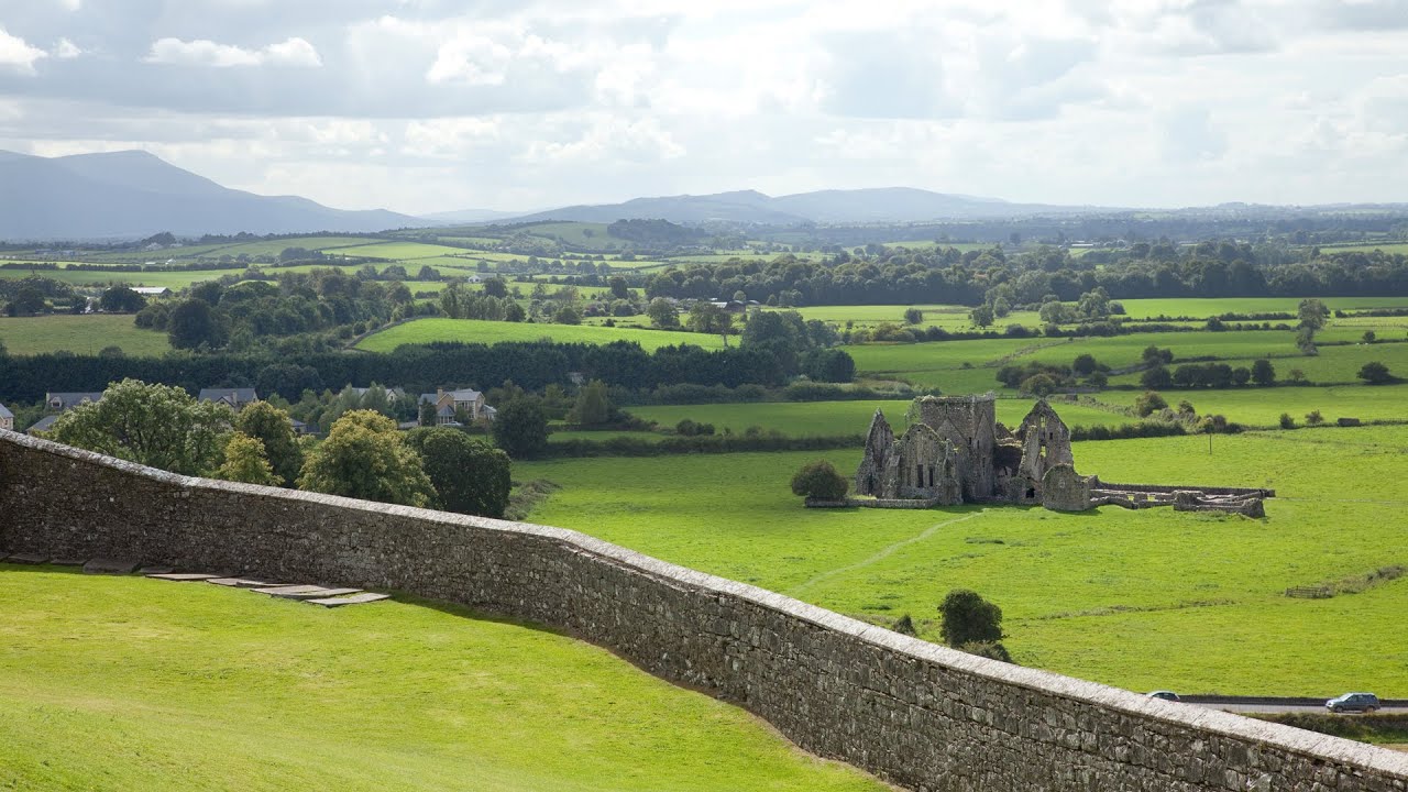 Burnt mound in Killea (coshmore and Coshbride By.)Burnt mound · 146 yd
 Tuck MillMill, fulling · 473 yd
 Kilnatoora CastleCastle, tower house · 542 yd
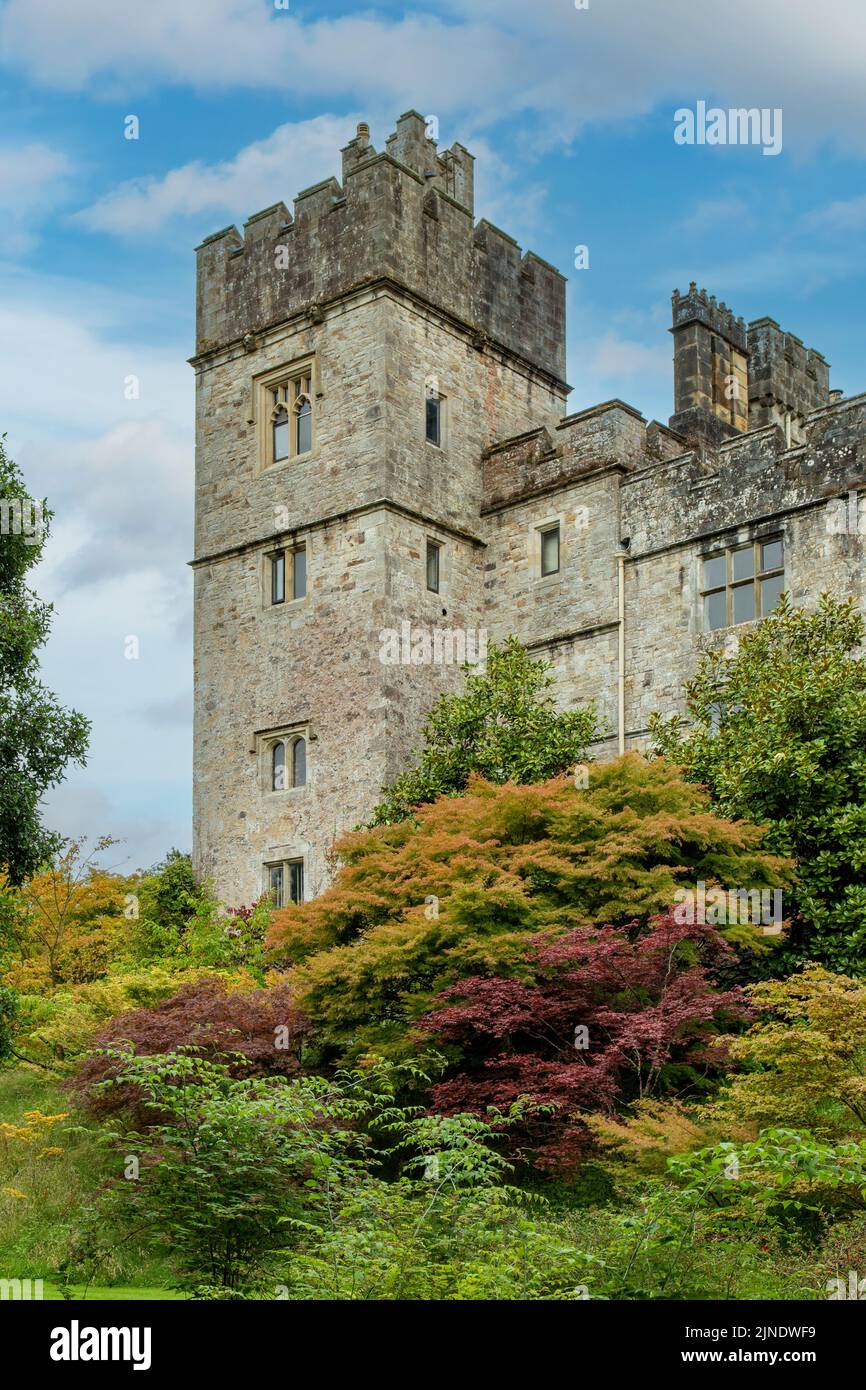 Embanked enclosureFairy fort / earthen ringfort · 864 yd
 Castle (in Ruins)Castle, tower house · 1199 yd
 IndicatedMill, corn · 1364 yd
 Ringcrew WoodForest · 1.7 mi
 European ashEuropean ash · 1.8 mi
 Molana AbbeyHeritage attraction · 1.9 mi
 St Bridget's WellSpring · 2.2 mi
 Youghal Foxhole Loop walkWalking route · 2.2 mi
 Collegiate Church of Saint MaryHeritage attraction · 2.6 mi