What is recorded here
Two stones still stand in Ballyloughlin, County Down, though no one now says when they rose or why. They are old enough to predate every written life in the area, yet young enough to remember hands, weather and footsteps. Perch one finger on either stone and the distance between them becomes a room. What the room holds depends on whether you are waiting to be seen or teaching another person to see.
The official Northern Ireland record identifies this as TWO STANDING STONES. Recorded period: PREHISTORIC; UNCERTAIN. The official map point was placed at the centre of the recorded archaeological site from the source map reference.
Likely dating to the Neolithic or Bronze Age, these standing stones may have served as markers for territorial boundaries, ceremonial alignments, or astronomical observations. No specific folklore or recorded use has been associated with the site.
The monument record does not grant public access. Check the route and ask the landowner before entering private land.
- What survives
- Recorded monument
Places near here
 MAGHERA CHURCH AND ROUND TOWER in CarnacavillMAGHERA CHURCH AND ROUND TOWER · 857 yd
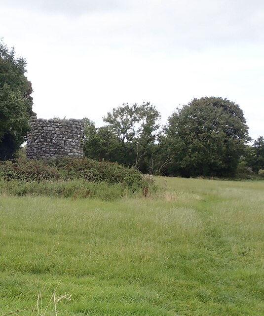
 Maghera Church and Round TowerArchaeological place · 901 yd
 Maghera Parish ChurchChurch · 924 yd
 Maghera Church & Round TowerVisitor information · 938 yd
 ENCLOSURE in CarnacavillENCLOSURE · 1186 yd
 Murlough Nature ReserveNature reserve · 1503 yd
 Twelve Arches Recreation AreaPicnic place · 1628 yd
 Wild Forest LaneWalking route · 1.3 mi
 Murlough South End Nature Trail, MurloughWalking route · 1.3 mi
 Murlough National Nature ReserveNature reserve · 1.4 mi
 CASTLE (destroyed) in Murlough UpperCASTLE (destroyed) · 1.8 mi
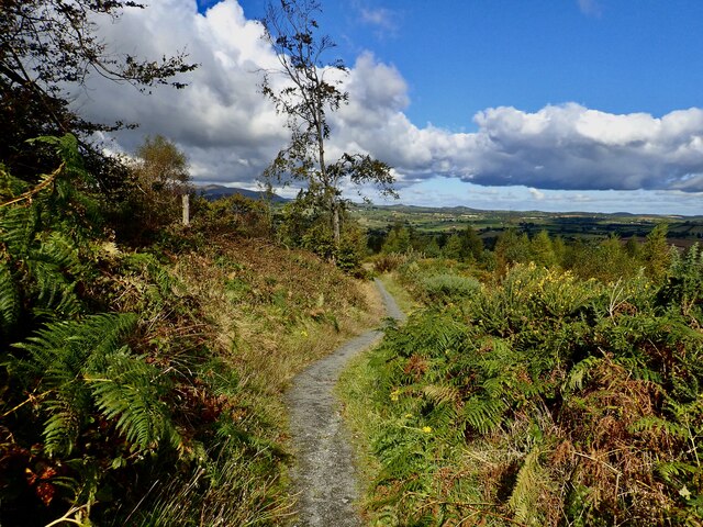 Bunkers HillMountain / peak · 2.3 mi