What is recorded here
Two crannogs stood in Ballykinler Middle and Tyrella North until destroyed in 1814, perhaps islands of reeds and timber where families lived above the water. They vanished so completely that only their names remain, carrying the shape of rooms, hearths and footsteps into the air.
The official Northern Ireland record identifies this as TWO CRANNOGS (destroyed, 1814): INISLOCHACULIN. Recorded period: E.CHRIST.. The official map point was placed at the centre of the recorded archaeological site from the source map reference.
The monument record does not grant public access. Check the route and ask the landowner before entering private land.
- What survives
- Recorded monument
Places near here
 ENCLOSURE in Ballykinler MiddleENCLOSURE · 1004 yd
 ENCLOSURE, poss. BARROW with MULTIPLE CIST BURIALS: LISNASHIMMER in Ballykinler UpperENCLOSURE, poss. BARROW with MULTIPLE CIST BURIALS: LISNASHIMMER · 1381 yd
 FORTIFICATION: MACCOURTNEY'S CASTLE in Ballykinler UpperFORTIFICATION: MACCOURTNEY'S CASTLE · 1.1 mi
 Tyrella Parish ChurchChurch · 1.3 mi
 Man-made underground passageCave · 2.0 mi
 Mourne Coastal Route: Dundrum Main StreetVisitor information · 2.1 mi
 Church Of The Sacred HeartChurch · 2.1 mi
 RATH & TOWER-HOUSE: CASTLESKREEN TOWER HOUSE in CastleskreenRATH & TOWER-HOUSE: CASTLESKREEN TOWER HOUSE · 2.1 mi
 Castle PathWalking route · 2.2 mi
 Dundrum CastleHeritage attraction · 2.2 mi
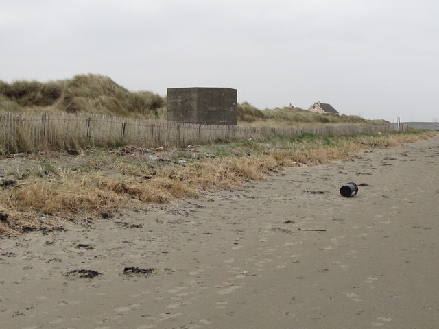 Tyrella BeachBeach / strand · 2.3 mi
 Murlough National Nature ReserveNature reserve · 3.1 mi