What is recorded here
Two carved stones stand in Quoile, County Down, preserving a medieval shape that still defies easy explanation. They are not a grand castle or a polished monument, but a small archaeological reminder that people once marked the land with intention. Their certainty is limited, yet their visibility is not; they still interrupt the field, still ask to be seen, and still belong to the place without needing a warning label.
The official Northern Ireland record identifies this as TWO CARVED STONES. Recorded period: MEDIEVAL; UNCERTAIN. The official map point was placed at the centre of the recorded archaeological site from the source map reference.
The monument record does not grant public access. Check the route and ask the landowner before entering private land.
- What survives
- Recorded monument
Places near here
 Quoile PondageVisitor information · 218 yd
 Quoile BridgeBridge · 813 yd
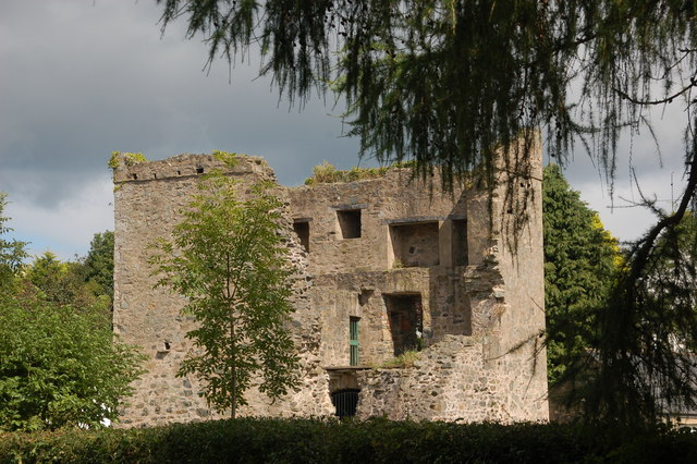 TOWER-HOUSE: QUOILE CASTLE in QuoileTOWER-HOUSE: QUOILE CASTLE · 896 yd
 Portulla WoodWood · 1061 yd
 CHURCH (site of): CARRIGOGANTELAN in CraigoganletCHURCH (site of): CARRIGOGANTELAN · 1385 yd
 CASTLE (unlocated) in SaulCASTLE (unlocated) · 1550 yd
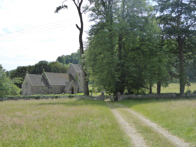 PRE-NORMAN CHURCH: CHURCH OF ST. BRIGID in Demesne OF Down; DownpatrickPRE-NORMAN CHURCH: CHURCH OF ST. BRIGID · 1567 yd
 ABBEY; GRAVEYARD; MORTUARY HOUSES; COFFIN LID etc. : SAUL ABBEY in SaulABBEY; GRAVEYARD; MORTUARY HOUSES; COFFIN LID etc. : SAUL ABBEY · 1605 yd
 Steamboat QuayMemorial · 1.0 mi
 Church Street Car ParkVisitor information · 1.0 mi
 CISTERCIAN ABBEY & PRECINCT with GRAVEYARD & ENCLOSURE: INCH ABBEY; INNISCOURCY in InchCISTERCIAN ABBEY & PRECINCT with GRAVEYARD & ENCLOSURE: INCH ABBEY; INNISCOURCY · 1.2 mi
 Down County MuseumMuseum · 1.2 mi