What is recorded here
No stone or shadow remains of the turret, yet three maps and one photograph agree it stood beside Old Dromore. The ground floor may have been a rectangular chamber with a semicircular arch, while a slimmer tower rose above it, pointing a blunt window toward the southwest. Lord Muskerry is said to have destroyed his own house after a single night to clear a debt, and the turret may have followed that same reckless arithmetic.
No visible surface trace of rectangular structure (c. 5m SW-NE; c. 5m NW-SE) depicted on 1842, 1904 and 1935 OS 6-inch maps. Photograph taken 1909 (Grove White 1905-25, vol. 3, opp. 83) shows two-tiered turret, ground floor appears to be rectangular in plan with semicircular archway (long axis NE-SW), carrying 1-storey tower (possibly circular or octagonal) of slimmer proportions with bluntly pointed window ope on SW side. In foreground of photograph (ibid.) are the substantial basement remains of house, Old Dromore, indicated c. 40m SW of tower on 1842, 1904 and 1935 OS 6-inch maps; probably remains of house built c. 1779 by Lord Muskerry, who according to tradition, knocked down house after only one night's occupation to repay construction debts (ibid., 83).
The above description is derived from the published 'Archaeological Inventory of County Cork. Volume 4: North Cork' (Dublin: Stationery Office, 2000). In certain instances the entries have been revised and updated in the light of recent research.
Date of upload/revision: 14 January 2009
The monument record does not grant public access. Check the route and ask the landowner before entering private land.
- What survives
- Recorded monument
Places near here
 Church (in Ruins)Church · 196 yd
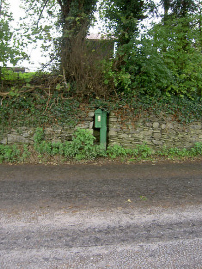 post boxpost box · 640 yd
 Enclosure in Dromore SouthEnclosure · 943 yd
 Religpatrick Grave Yard (Disused)Burial ground · 1158 yd
 Castle Barrett (in Ruins)Castle, Anglo-Norman masonry castle · 1250 yd
 Castle BarrettCastle · 1252 yd
 KnockarouraForest · 1.7 mi
 Blackwater WayWalking route · 2.3 mi
 Mallow River TrailVisitor information · 2.7 mi
 In loving memory of Elvis O'DonoghueMemorial · 2.8 mi
 Dromaneen CastleHeritage attraction · 4.2 mi
 Lyradane MountainMountain / peak · 4.4 mi