What is recorded here
In cutaway bog on a W-facing slope overlooking a river valley. A raised rectangular area (8m N-S x 1.6m E-W; H 0.3m) defined by stones around perimeter and scattering of stones in interior.
Compiled by: Elizabeth Byrne, Ursula Egan and Sheila Ronan, Archaeological Survey Unit, University College, Cork.
Date of upload: 30 May 2011
The monument record does not grant public access. Check the route and ask the landowner before entering private land.
- What survives
- Recorded monument
Places near here
 IndicatedFairy fort / earthen ringfort · 398 yd
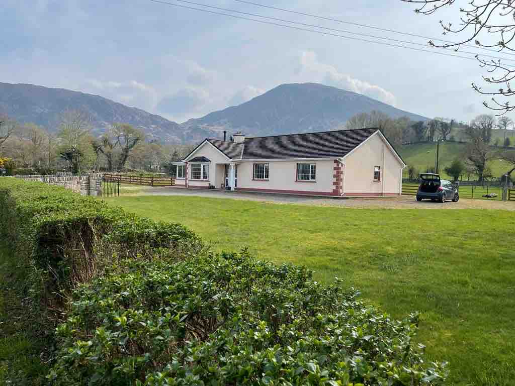 Hut site in Drombohilly LowerHut site · 475 yd
 Ardea Br.Bridge · 1.1 mi
 DispensaryBuilding · 1.3 mi
 DrombohillyMountain / peak · 1.3 mi
 Ormond's IslandIslet · 1.8 mi
 KnockateeMountain / peak · 1.9 mi
 Uragh Wood Nature ReserveNature reserve · 2.3 mi
 Uragh WoodForest · 2.3 mi
 Rossmore IslandIsland · 3.1 mi
 DroppaCliff · 3.1 mi
 Lackeen PointHeadland · 3.4 mi