What is recorded here
Named 'Butter Hill' according to Devitt (1899-1902, 288-9) who parses 'Cappapolis' (the name of the laneway immediately to the E as depicted on the latest ed. (1939) of the OS 6-inch map) as '"Cappagh" = a plot of land and "polis" = "palas" or "pailis", signifying a fairy lis or rath … ' (which, he says, may have stood on Butter Hill). On a golf course in open, level, mixed tillage and pasture. It is a short, low but steep-sided, gravel ridge (dims. L c. 100m N-S; Wth c. 50m; max H c. 7m along the N and NE). Its upper surface (dims. L 23m NNE-SSW; Wth 8m) is now a golf-tee; levelled-off, planted as a lawn, and approached via a gravelled pathway from the N.
Compiled by: Gearóid Conroy
Date of upload: 10 June 2011
The monument record does not grant public access. Check the route and ask the landowner before entering private land.
- What survives
- Recorded monument
Places near here
 Enclosure in Castlebrown OR ClongowesEnclosure · 243 yd
 Burial GroundRuins · 712 yd
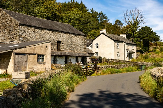 Mainham ForgeArchaeological place · 770 yd
 CastleCastle, tower house · 894 yd
 Queen Buans GraveCastle, motte and bailey · 923 yd
 1798 Rebellion MemorialMemorial · 1672 yd
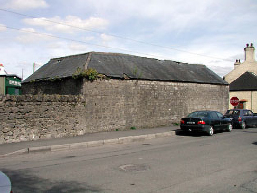 outbuildingoutbuilding · 1.0 mi
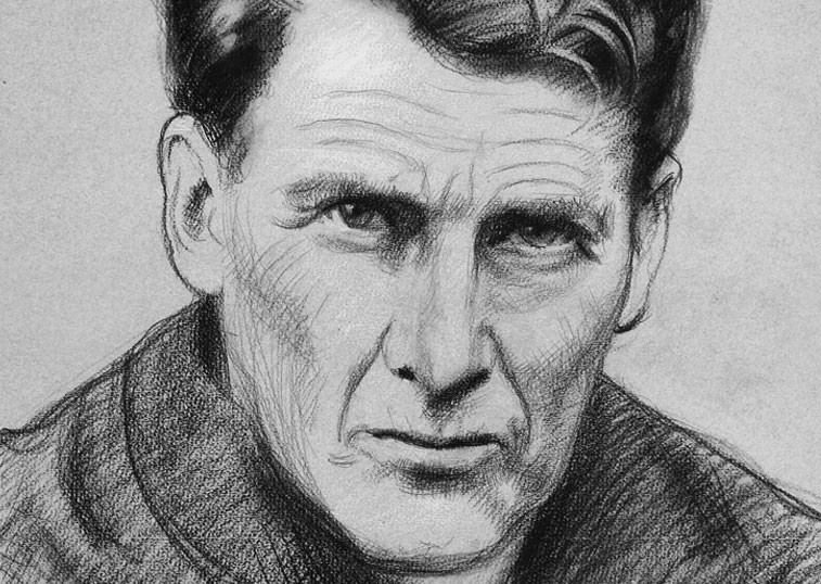 Venerable Fr John Sullivan MemorialMemorial · 1.2 mi
 Dunne's IslandWood · 1.5 mi
 Loughtown CovertWood · 2.3 mi
 The Kildare MazeHeritage attraction · 3.0 mi
 The Steam MusemMuseum · 3.9 mi