What is recorded here
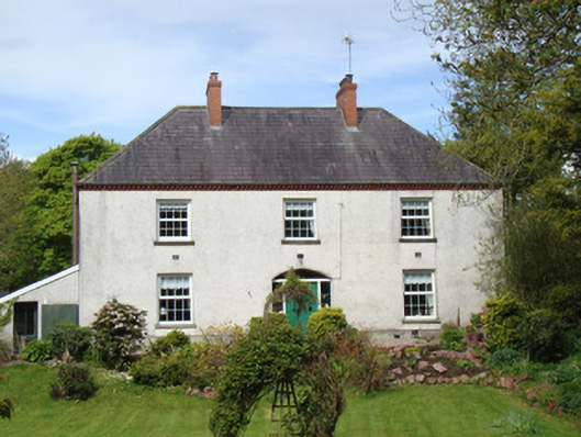
Three-bay two-storey farmhouse, built c.1870, having lean-to addition to south gable. Hipped slate roof with two paired red brick chimneystacks, and terracotta eaves course. Roughcast rendered walls. Square-headed window openings with replacement uPVC windows throughout, and stone sills. Segmental-headed doorway with replacement timber door, sidelights and over-light. Three-bay two-storey L-plan farm building to south-east, having hipped slate roof, roughcast rendered walls with some rubble stone, square-headed openings with recent metal fittings, and two segmental-headed carriage arches set in corrugated-iron roofed opened-sided lean-to porch. Single-storey L-plan outbuilding of c.1800 to south of house, northern part being former single-storey house, with pitched corrugated-iron roof and south part being lofted outbuilding with pitched slate roof, both with limewashed random rubble stone walls, and square-headed window openings with timber three-over-three pane sliding sash windows and casement windows. Watermill to south of house.
This house, possibly accommodating the miller who worked the nearby watermill, is a pleasant classically-informed rural house. Its three-bay two-storey form is so typical of rural Irish domestic architecture of the nineteenth century. The paired chimneystacks and the carefully-placed window openings, coupled with the segmental entrance, contribute a strong symmetry to the building. The decorative terracotta eaves course adds visual interest. The fine yard of outbuildings, including an earlier house, and the well-preserved watermill, form the context for the house.
This does not grant access. Most recorded buildings are privately owned; view them only from public ground unless the owner allows entry.
Places near here
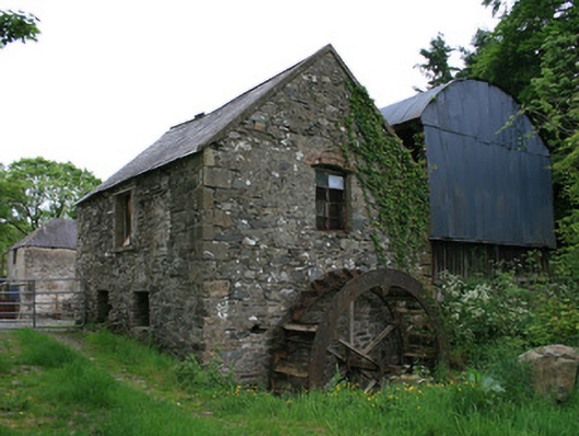 Tullyleer Housemill (water) · 52 yd
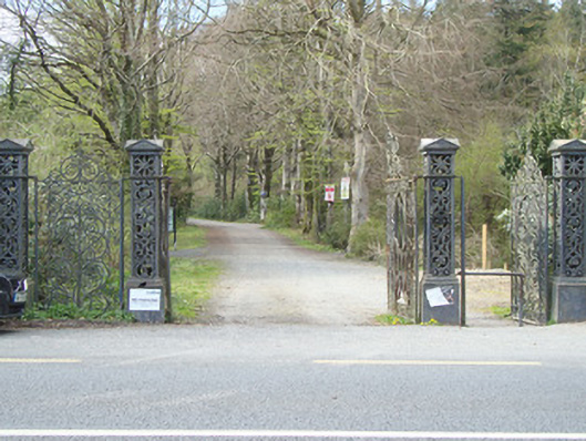 Rossmore Castledemesne walls/gates/railings · 641 yd
 Lady Rossmore's Cottage (Ruin)Heritage attraction · 1225 yd
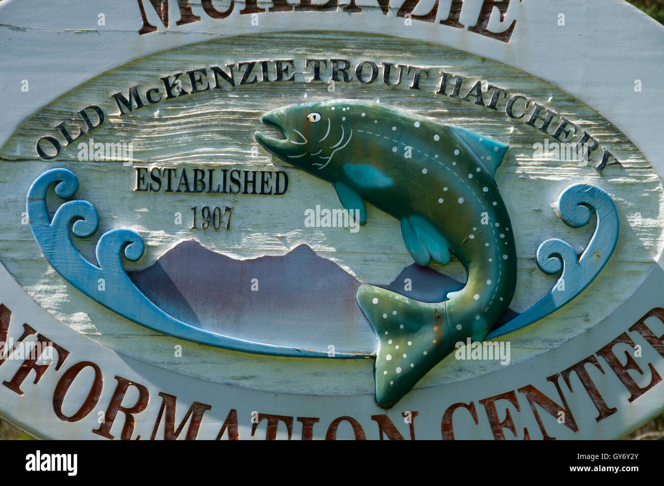 Old Fish HatcheryHeritage attraction · 1370 yd
 Court tomb in KillydrutanCourt tomb · 1605 yd
 IndicatedCrannog · 1706 yd
 Mullaghmatt ForestWood · 1.4 mi
 Cortolvin ForestWood · 1.8 mi
 Bawn in Roosky (monaghan By., Monaghan Par.)Bawn · 2.1 mi
 Rossmore MonumentMemorial · 2.1 mi
 Castleshane WaterfallWaterfall · 3.8 mi
 Rough HillMountain / peak · 4.1 mi
Other information
Photo: National Inventory of Architectural Heritage · Website use allowed for educational or private purposes with source credit