What is recorded here
Mortimer's tower is gone except one stubborn north-west angle, still set on its rock outcrop above the upland. The quarry to the north and the modern water tower to the east have replaced much of what the castle once commanded. Whatever room O'Flanagan's letters remembered has been taken back by weather, extraction or forgetfulness. What remains is a corner of limestone rubble, battered at the base, watching the same wide country that the whole tower once watched.
Situated on natural rock outcrop in an upland area with extensive views. Only the NW angle of a poorly preserved tower house survives with a quarry immediately to the N. The tower is located within a nineteenth-century grove of trees with a modern water tower to the E. The castle walls are constructed with roughly coursed limestone rubble with base-batter. The OS Letters describe a mullioned and transomed window at the E end of the N wall with a destroyed window directly underneath (O'Flanagan 1930, vol. 3, 120), neither of which are visible.
The above description is derived from 'The Archaeological Inventory of County Tipperary. Vol. 1 - North Tipperary' compiled by Jean Farrelly and Caimin O'Brien (Dublin: Stationery Office, 2002). In certain instances the entries have been revised and updated in the light of recent research.
Date of upload/revision: 22 September 2008
Tullahedy Castle was built by the Butler family in the 15th century and later held by the Bourkes, a prominent Irish Gaelic clan. It is remembered for its role in the 1691 Treaty of Limerick and as the site of a significant guerrilla action during the Irish War of Independence.
The monument record does not grant public access. Check the route and ask the landowner before entering private land.
- What survives
- Recorded monument
Places near here
 Tullahedy CastleCastle · 6 yd
 ShannacloghRuins · 341 yd
 CastleCastle, motte and bailey · 944 yd
 Ballycahill Church (site of)Church · 1222 yd
 Fulacht fia in Grallagh (monsea Par.)Fulacht fia · 1427 yd
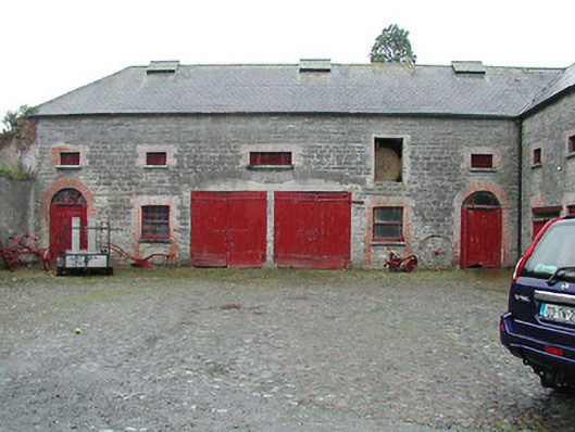 Solsborough Houseoutbuilding · 1493 yd
 Nenagh Heritage CentreMuseum · 1.6 mi
 Old BarracksHeritage attraction · 1.8 mi
 Gibbet HillMountain / peak · 3.2 mi
 Sweet ChestnutSweet Chestnut · 3.9 mi
 The MinerMemorial · 4.0 mi
 Our Lady Assumed into HeavenMemorial · 4.0 mi