What is recorded here
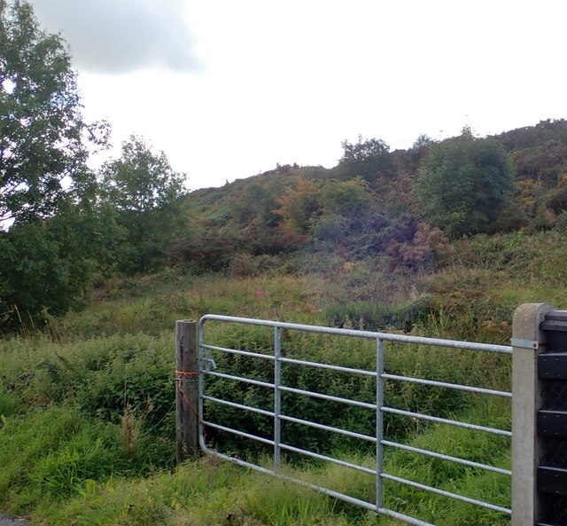
TREE RING is an uncertain mound in Altnamackan that may have begun as a rath before people cut trees in a circle and changed its shape. The place could carry an early chamber, a farm yard or a boundary marker beneath soil that later tools disturbed. Its name preserves the visible ring rather than the hidden function, leaving the older room to imagine.
The official Northern Ireland record identifies this as TREE RING, possibly reused RATH. Recorded period: UNCERTAIN; C18TH/C19TH; E.CHRIST.. The official map point was placed at the centre of the recorded archaeological site from the source map reference.
The monument record does not grant public access. Check the route and ask the landowner before entering private land.
- What survives
- Recorded monument
Places near here
 Tullyvallen Orange Hall massacremassacre · 1.0 mi
 TWO CROSS-CARVED STONES in Tullyvallan (tipping) WestTWO CROSS-CARVED STONES · 1.7 mi
 MullavashPassage tomb · 2.2 mi
 Mullyash MountainMountain / peak · 2.3 mi
 Garmany's Grove Presbyterian Churchchurch/chapel · 2.4 mi
 Operation Conservationmilitary operation · 2.4 mi
 Tullycollive Bridgebridge · 2.7 mi
 The Black Castle Chambered GraveArchaeological place · 4.0 mi
 Crane IslandIsland · 4.1 mi
 Fews ForestForest · 4.2 mi
 Aughanduff Lower MountainMountain / peak · 4.3 mi
 Garmany's IslandIslet · 4.4 mi