What is recorded here
The official Northern Ireland record identifies this as TREE RING. Recorded period: MODERN. The official map point was placed at the centre of the recorded archaeological site from the source map reference.
The monument record does not grant public access. Check the route and ask the landowner before entering private land.
- What survives
- Recorded monument
Places near here
 ENCLOSURE: THE OLD FORT in Fathom LowerENCLOSURE: THE OLD FORT · 401 yd
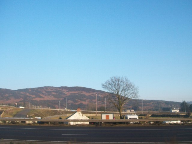 Fathom MountainMountain / peak · 857 yd
 NEWRY CANALNEWRY CANAL, c.f. DOW 046:500 & IHR 172 · 1009 yd
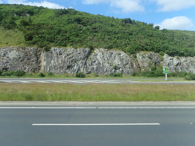 Cloghoge MountainMountain / peak · 1.2 mi
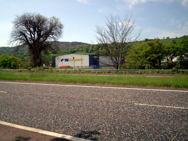 Greenbank TrailWalking route · 1.3 mi
 ENCLOSURE in AghnamoiraENCLOSURE · 1.4 mi
 Goin Back AreaCliff · 1.5 mi
 Iron Hawk AreaCliff · 1.6 mi
 Convent of MercyReligious House · 2.0 mi
 Carlingford LoughVisitor information · 2.0 mi
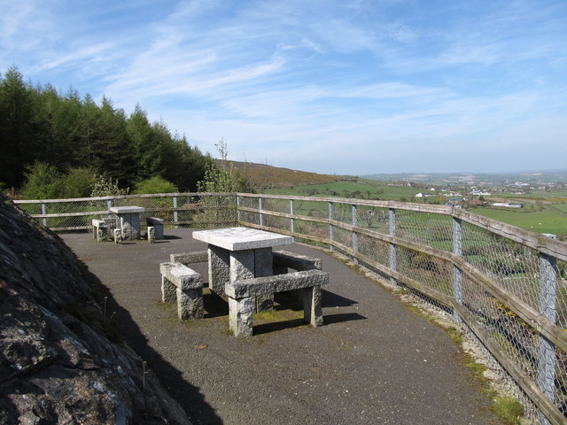 Bernish ViewpointViewpoint · 2.1 mi
 Narrow Water CastleCastle · 2.3 mi