What is recorded here
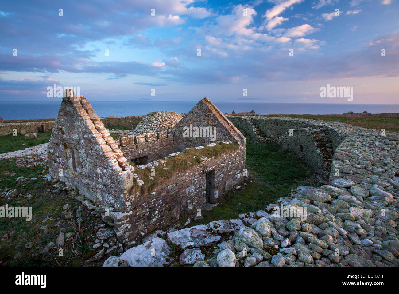
Surrounding an enclosure (SL001-010001-), named Trahanee’ on the on the 1837 and 1912 OS 6-inch maps, in enclosed pasture overlooking northerly cliffs on Inishmurray.
This is a National Monument (no. 117) in state ownership. Outwith the drystone wall of an enclosure (SL001-010001-) is a second enclosing element. A low bank – 1.8 m wide and 0.3 m high – surrounds the drystone wall. The overall diameter of the bank is 9 m. There is no visible break, but the bank is more pronounced on the north side. There is a quarry pit (SL001-010005-) immediately to W, and a holy well (SL001-010004-) 15m downslope to N.
The above description is derived from the results of a survey of the archaeological monuments on Inishmurray undertaken in 1997-1999 and published in:
Jerry O’Sullivan and Tomás Ó Carragáin 2008 Inishmurrary. Monks and pilgrims in an Atlantic landscape. Volume 1: Archaeological Survey and Excavations 1997-2000. Cork. The Collins Press.
Trahanee is a ringfort located on Inishmurray, dating likely to the early medieval period and serving as a defensive or agricultural settlement. It is associated with local folklore surrounding fairy activity, common to many such sites in the west of Ireland.
The monument record does not grant public access. Check the route and ask the landowner before entering private land.
- What survives
- Recorded monument
Places near here
 TrahaneeEnclosure · 2 yd
 Altar (Site of)Leacht · 320 yd
 InishmurrayIsland · 427 yd
 St Molaises ChapelChurch · 469 yd
 Teampull Molaise, TeampullnabarChurch · 486 yd
 Inishmurray Island Monastic SiteHeritage attraction · 539 yd
 Streedagh BeachVisitor information · 4.4 mi
 de Cuellar Armada MonumentMemorial · 4.5 mi
 Connors IslandIsland · 5.5 mi
 Bawn in DoonforeBawn · 5.9 mi
 Knocklane CastleRuins · 6.0 mi
 Upperglen WoodForest · 6.3 mi