What is recorded here
Mnemo records the example as Tower, a square four-storey belvedere on a Crookhaven rock outcrop, about eleven metres tall with an embattled parapet and a first-floor door in the north wall. It was already marked Tower on the 1842 Ordnance Survey map, and a similar later tower stands to the northeast. The view is the point: standing small on exposed stone, looking out over water and sky.
Square tower (3.5m E-W; H c. 11m) on rock outcrop overlooking Crookhaven. Indicated on OS 6-inch map (1842) as 'Tower'. Four storey; 1st floor door in N wall; hood mouldings over 3rd floor windows. Embattled parapet walls. Similar later tower (CO147-057---) visible to NE.
The above description is derived from the published 'Archaeological Inventory of County Cork. Volume 1: West Cork' (Dublin: Stationery Office, 1992). In certain instances the entries have been revised and updated in the light of recent research.
Date of upload/revision: 14 January 2009
The monument record does not grant public access. Check the route and ask the landowner before entering private land.
- What survives
- Recorded monument
Places near here
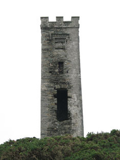 signal towersignal tower · 11 yd
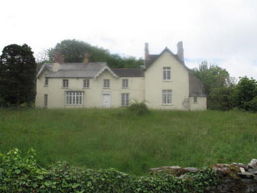 Rock Island Housecountry house · 141 yd
 Castle (Site of)Castle, unclassified · 937 yd
 IndicatedFairy fort / earthen ringfort · 1028 yd
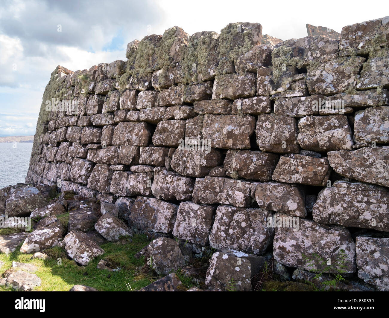 Promontory fortPromontory fort, coastal · 1129 yd
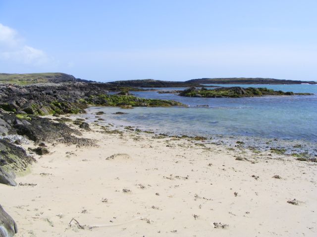 Galley Cove BeachBeach / strand · 1.5 mi
 Creamery PlatformMemorial · 2.3 mi
 Chimney CoveBeach / strand · 2.5 mi
 KnocknamaddreeMountain / peak · 2.7 mi
 Barley CoveHeritage attraction · 2.8 mi
 Ballyrisode PointHeadland · 2.8 mi
 KnockboyMountain / peak · 2.9 mi