What is recorded here
Barry towers still hold the narrow neck of Dundeady Head, their ruined walls marking the line where a busy road now cuts through what was once a guarded entrance. The largest corner tower keeps its spiral stair and conjoined turret above a common farmyard, while smaller chambers drop waste into the rocks below. Irish Confederates broke the place in 1642 and Parliamentarians took it back soon after, but the stones never stopped watching the sea.
Line of curtain wall crosses narrow neck of Galley (or Dundeady) Head, with fosse-like dip in front (to N) which is probably natural though Westropp (1914, 144) suggests might mask earlier defences (CO144-039001-). Level area to S (seaward side) of curtain (now occupied by farmyard) defined by low rock escarpment, with towers at SW and SE corners. Modern road passes through curtain to W, probably on line of original entrance. Mid-way along curtain is mural tower with pair of garderobe chutes opening at base; flat-headed window light in curtain wall to E of tower. Largest tower at SW corner of platform, on highest point; rectangular (7.5m E-W; 5m N-S), with conjoined turret at SW corner (4.5m E-W; 3.3m N-S). Only ground floor preserved; entered by doorway in S wall with traces spiral stairs in NE corner; blocked passage to smaller corner tower chamber; top of wall corbelled inwards, capped by series of lintel stones. At SE corner platform remains of rectangular tower (c. 6.5m E-W; 5.5m N-S) built against steep E-facing slope. W half largely fallen. Two small garderobe chambers E end under similar roof to main tower (corbelled wall carrying lintels). Simple square-headed window lights. A castle of the Barrys (Westropp 1914, 112-5) which was taken down by the Irish Confederates in 1642 but shortly after retaken by the Parliamentarians (Healy 1988, 254).
The above description is derived from the published 'Archaeological Inventory of County Cork. Volume 1: West Cork' (Dublin: Stationery Office, 1992). In certain instances the entries have been revised and updated in the light of recent research.
Date of upload/revision: 14 January 2009
The monument record does not grant public access. Check the route and ask the landowner before entering private land.
- What survives
- Recorded monument
Places near here
 Dundeady Castle (in Ruins)Castle, tower house · 17 yd
 Galley HeadViewpoint · 70 yd
 Hut site in DundeadyHut site · 490 yd
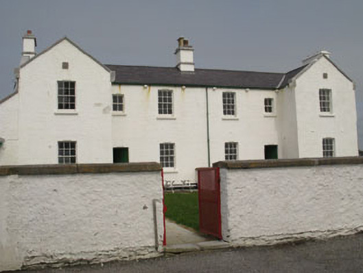 Galley Head Lighthouse Keepers' Houseslighthouse keeper's house · 524 yd
 Galley Head Lighthouselighthouse · 588 yd
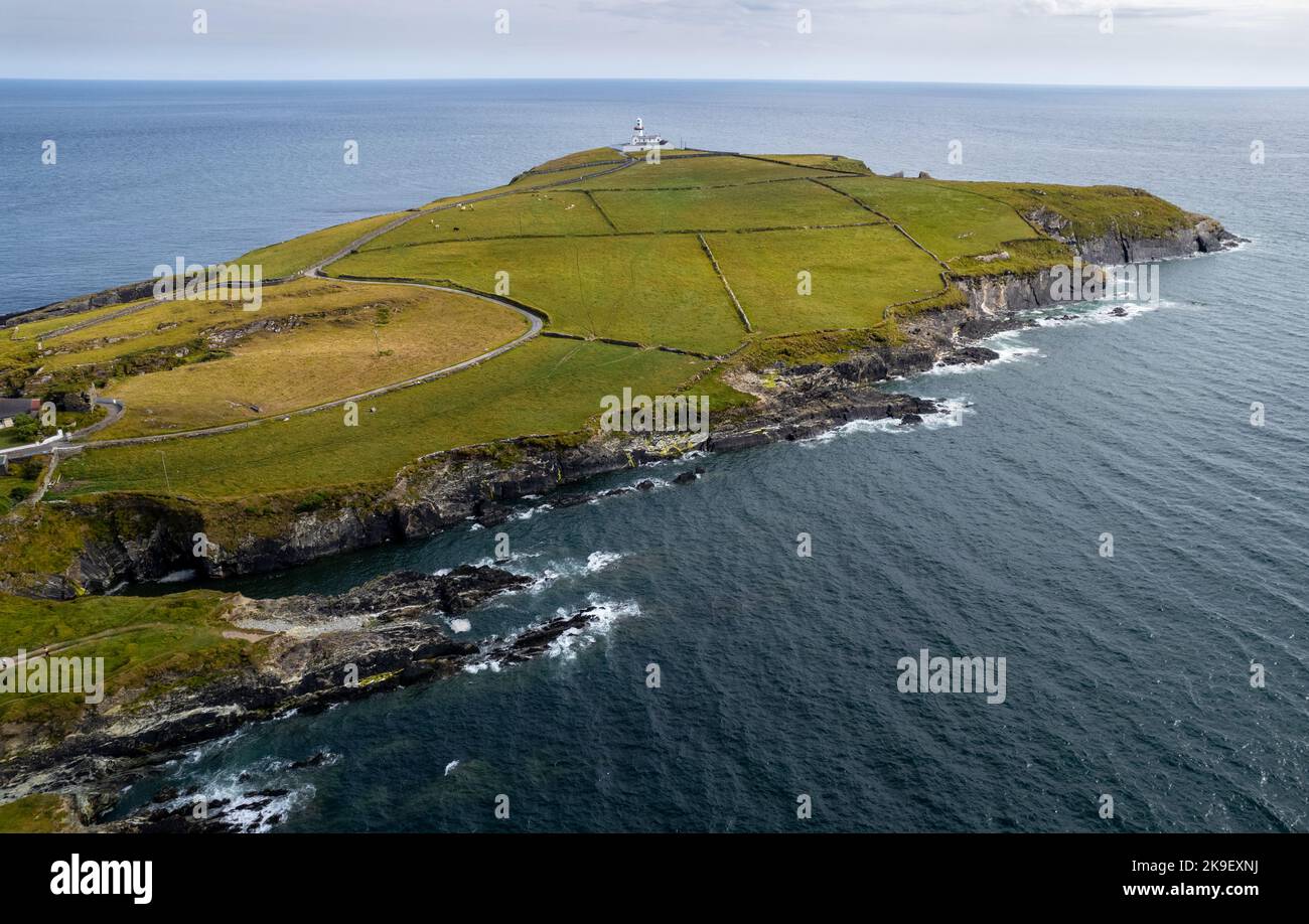 Man-made underground passage in DundeadyMan-made underground passage · 772 yd
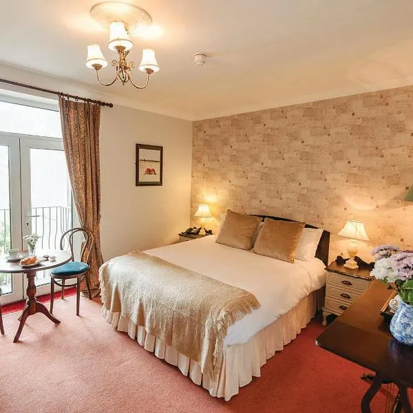 Donoure Castle (in Ruins)Castle, unclassified · 1224 yd
 Red StrandBeach / strand · 1.4 mi
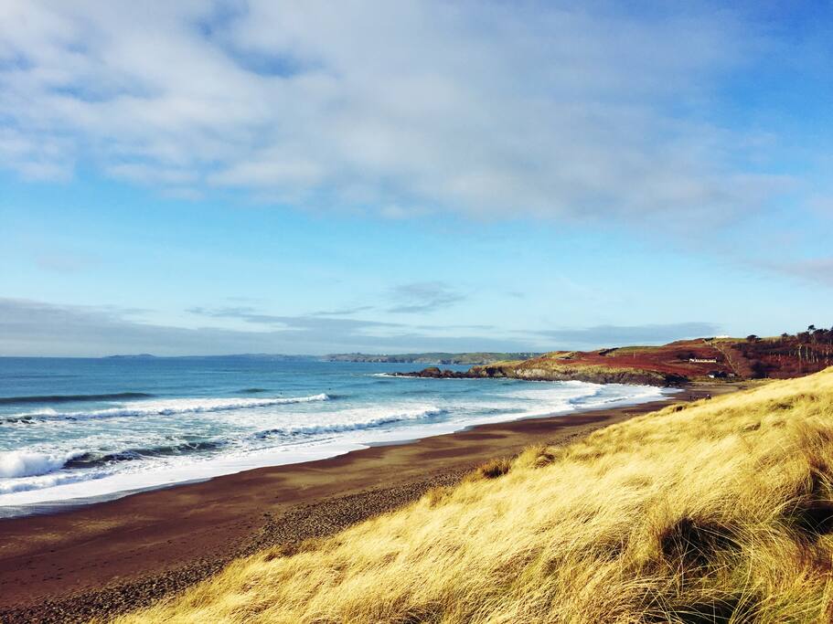 The Long StrandBeach / strand · 1.6 mi
 Long Strand DunesNature reserve · 1.7 mi
 Galley Head ViewViewpoint · 2.3 mi
 Lord Carbery's Cross TrailWalking route · 2.4 mi