What is recorded here
The official Northern Ireland wreck record identifies Tornamona as Former minesweeper; MFV. It was lost in 1985. Recorded depth: 10m. Recorded condition: Broken up.
Tornamona was a former minesweeper (MFV) lost in 1985 off Northern Ireland. It sank in 10 meters of water and was later broken up; no details of casualties or cargo are recorded.
A wreck point does not grant access or permission to dive, enter land, disturb the site or recover anything. Check current law and local conditions first.
Places near here
 Mullog PointHeadland · 855 yd
 Kilclief BeachBeach / strand · 1037 yd
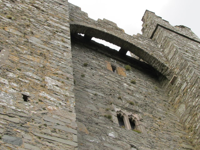 TOWER-HOUSE & C13th COFFIN LID: KILCLIEF CASTLE in KilcliefTOWER-HOUSE & C13th COFFIN LID: KILCLIEF CASTLE · 1153 yd
 Kilclief CastleCastle · 1156 yd
 Parish ChurchChurch · 1268 yd
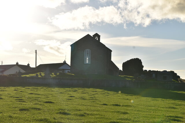 ANGLO-NORMAN COFFIN LIDS (2) (in C. of I. church) & site of MEDIEVAL CHURCH in KilcliefANGLO-NORMAN COFFIN LIDS (2) (in C. of I. church) & site of MEDIEVAL CHURCH · 1275 yd
 Strangford Holiday Park Picnic AreaPicnic place · 1.0 mi
 Ballyquintin Point Nature ReserveNature reserve · 1.1 mi
 MEDIEVAL CHURCH (unlocated): ABBOT-GRANGE in BallywoodanMEDIEVAL CHURCH (unlocated): ABBOT-GRANGE · 1.8 mi
 Sandy IslandIslet · 1.9 mi
 A.P. SITEA.P. SITE, oval enclosure · 2.0 mi
 Ballyhornan Picnic SitePicnic place · 2.4 mi