What is recorded here
To the N of a road, close to the SE shore of Muckross Lake. The site of a cottage which was enlarged by the Herbert Family of Muckross House c. 1800 to create a substantial house (Bary 1994, 234). The 1846 OS 6-inch map depicts a roughly rectangular structure (c. 40m N-S; c. 20m E-W) with numerous angles; L-shaped outbuildings are attached to the S. The 1895 OS 6-inch map depicts a smaller structure (long axis E-W) suggesting that the rear of the building was demolished. An L-shaped two-storey stable block is still extant and inhabited. A one-storey porter's lodge associated with house is c. 250m to the E.
Compiled by: Elizabeth Byrne, Ursula Egan and Sheila Ronan, Archaeological Survey Unit, University College, Cork.
Date of upload: 31 January 2011
The monument record does not grant public access. Check the route and ask the landowner before entering private land.
- What survives
- Recorded monument
Places near here
 Muckross Lake WalkWalking route · 267 yd
 Torc New Br.Bridge · 292 yd
 Torc WaterfallWaterfall · 535 yd
 Monterey CypressMonterey Cypress · 1106 yd
 Devil's IslandIslet · 1123 yd
 Torc MountainMountain / peak · 1158 yd
 ArboretumNature reserve · 1216 yd
 Sylvan WorldMonument · 1300 yd
 McRose BeachBeach / strand · 1305 yd
 Muckross HouseCountry house · 1613 yd
 A.W.B. (Billy) Vincent MemorialMemorial · 1712 yd
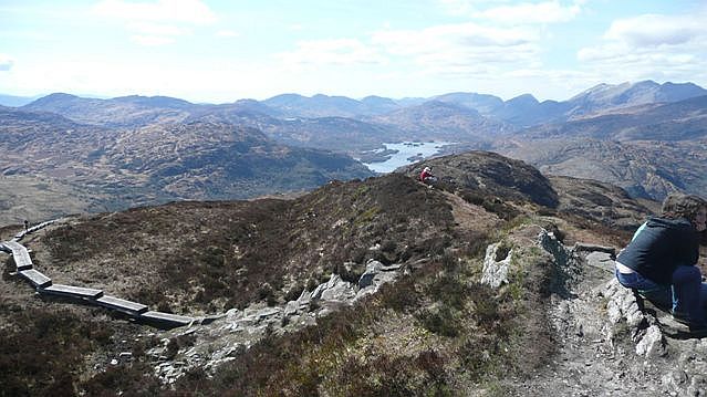 Torc Mountain W TopMountain / peak · 1738 yd