What is recorded here
A partly overgrown road bridge (Wth 5.8m; long axis NW-SE) spanning a tributary of the Quagmire River. It is built of random rubble sandstone and shale. The single segmental arch (span 4.85m) has roughly shaped voussoirs and the parapets have concrete coping. (Castleisland District Archaeological Survey)
Compiled by: Elizabeth Byrne, Ursula Egan and Sheila Ronan, Archaeological Survey Unit, University College, Cork.
Date of upload: 31 January 2011
The monument record does not grant public access. Check the route and ask the landowner before entering private land.
- What survives
- Recorded monument
Places near here
 Barna BogForest · 1501 yd
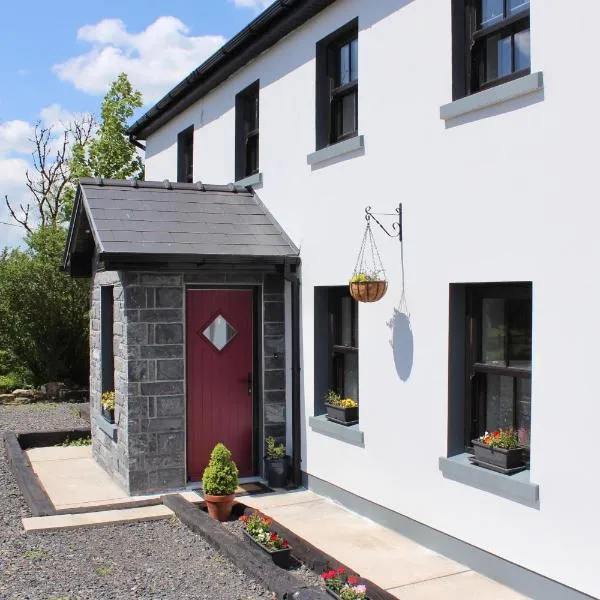 Enclosure in KnockeennahoneEnclosure · 2.7 mi
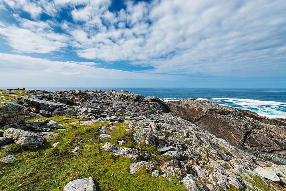 Annagh Br.Bridge · 2.7 mi
 Coom Br.Bridge · 3.1 mi
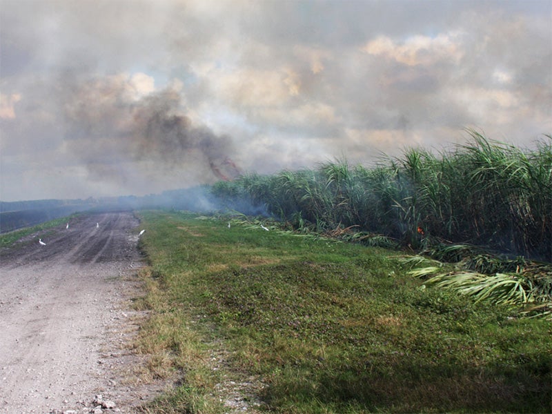 Burnt spread in CarhoonoeBurnt spread · 3.2 mi
 SlievebrickanMountain / peak · 4.9 mi
 Doctor's HillMountain / peak · 5.1 mi
 Nohaval WoodWood · 5.1 mi
 Castle (in ruins)Castle, Anglo-Norman masonry castle · 9.1 mi
 Kerry 2nd Brigade of the Irish Republican ArmyMemorial · 10 mi
 Killarney First World War MemorialMemorial · 10 mi
 Jaunting ToursHeritage attraction · 10 mi