What is recorded here
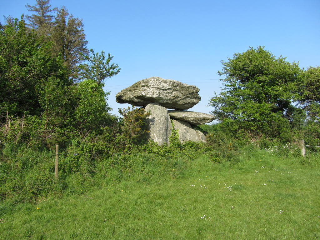
Situated at the S foot of the hillock on which Knockmaon castle (WA030-042001-) stands, and c. 90m E of the N-S Brickey River. It was marked 'Tomb stone' on the 1840 ed. of the OS 6-inch map. A granite slab (min. dims. 2.25m x 0.7m; T 0.25m) with a raised ringed cross at the centre of one side, possibly from an altar, was c. 40m N of the church, but it was moved to the tower house (WA030-006001-) at Cappagh (Power 1898a, 90-1; O'Connell-Redmond 1918, 102).
O'Connell-Redmond, G. (1918) The castles of north-east Cork and near its borders. JCHAS 24, 1-6, 62-6, 93-103, 145-51.
Power, Rev. P. (1898a) Ancient ruined churches of Co. Waterford, WAJ 4, 83-95, 195-219.
Date of upload/revision: 11th August, 2011. Compiled by: Michael Moore.
Likely dating to the early medieval period, the tomb stone may mark a burial or memorial site, possibly associated with the nearby Knockmaon castle or an earlier settlement. The marking on the 1840 OS map suggests local recognition of its funerary or historical significance.
The monument record does not grant public access. Check the route and ask the landowner before entering private land.
- What survives
- Recorded monument
Places near here
 IndicatedBawn · 65 yd
 farmyard complexfarmyard complex · 159 yd
 Embanked enclosureFairy fort / ringfort · 1170 yd
 Mount Odell Housefarm house · 1452 yd
 Site of Mullowneys VillageSettlement deserted, medieval · 1686 yd
 Kilgreany CaveCave · 1.1 mi
 site of CastleCastle, unclassified · 2.4 mi
 CarronadavdergMountain / peak · 4.0 mi
 Saint Declan's Holy WellSpring · 4.0 mi
 Grattan SquareVisitor information · 4.4 mi
 Waterford County MuseumMuseum · 4.5 mi
 Dungarvan World War I MemorialMemorial · 4.6 mi