What is recorded here
Situated on the E summit of the ENE-WSW drumlin ridge known as Tomb Hill, and overlooking Annaghmakerig Lough, which is to the S. It is depicted as an earthwork on McCrea’s map of County Monaghan (1793) and as a large embanked enclosure (ext. diam. c. 70m) described as a ‘fort’ on the 1834 edition of the OS 6-inch map. This is a circular raised area (diam. 34m E-W) defined by a scarp (at E: Wth 1.4m; H 0.6m; at W: Wth 3m; H 2.5m). There is no visible fosse or entrance. The base of the scarp at NW is cut by the circular field bank defining the wood depicted on the 1907 edition of the OS 6-inch map, which is also probably the feature depicted on the 1834 edition.
The above description is derived from the published 'Archaeological Inventory of County Monaghan' (Dublin: Stationery Office, 1986). In certain instances the entries have been revised and updated in the light of recent research.
Revised by: Michael Moore
Date of revision: 8 May 2018
The monument record does not grant public access. Check the route and ask the landowner before entering private land.
- What survives
- Recorded monument
Places near here
 Tomb HillMountain / peak · 6 yd
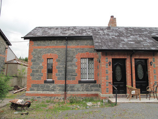 worker's houseworker's house · 473 yd
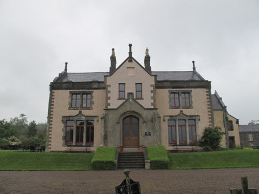 Annaghmakerig Housecountry house · 493 yd
 Man-made underground passage in CrappaghMan-made underground passage · 533 yd
 Crannog in Mullaghmore (dartree By.)Crannog · 768 yd
 Rabbitburrow WoodWood · 2.7 mi
 Brown Bog WoodForest · 2.9 mi
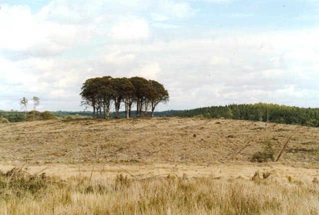 Flagpole HillMountain / peak · 3.2 mi
 Roosky Castle (Site of)Castle, ringwork · 3.6 mi
 Saint John's WellSpring · 4.2 mi
 Bawn in DrumsheilBawn · 5.2 mi
 Jaundice WellSpring · 5.3 mi