What is recorded here
Marked on the 1837 and 1929 eds of the OS 6-inch map and described as 'Tobershanbally', meaning Oldtown Well. in gothic lettering on both. It is situated on a gentle SW-facing slope. There is no trace of the well Tobershanbally, or any indication that it was a holy well, at the site of the chapel of Oldtown (RO026-037001-).
Compiled by: Michael Moore
Date of upload: 24 August 2010
This remains an important historical record, but the official description says the monument is no longer visible or has been destroyed. The monument record does not grant public access. Check the route and ask the landowner before entering private land.
- What survives
- No visible remains or recorded as destroyed
Places near here
 Settlement cluster in ArmSettlement cluster · 23 yd
 Quarry in ArmQuarry · 943 yd
 Gortalassa FortFairy fort / earthen ringfort · 1076 yd
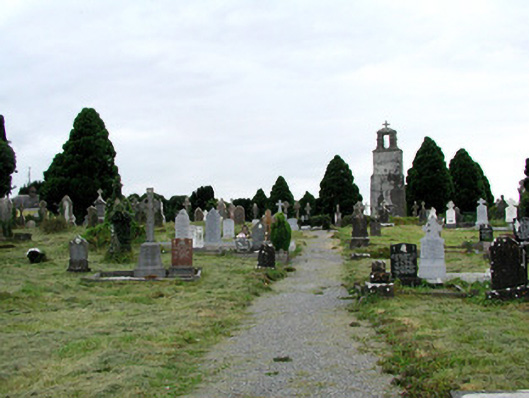 Saint Joseph's Catholic Churchgraveyard/cemetery · 1146 yd
 Castlereagh HouseCastle, unclassified · 1.1 mi
 Workhouse MemorialMemorial · 1.2 mi
 Clonalis HouseMuseum · 1.3 mi
 Silver IslandIslet · 1.9 mi
 Coolougher WoodForest · 2.0 mi
 CastleCastle, Anglo-Norman masonry castle · 4.8 mi
 Druminagh WoodForest · 4.9 mi
 Rook HillMountain / peak · 7.1 mi