
What is recorded here
Tobar Salroc stood at the northwest edge of Salrock graveyard, a holy well so established it appeared on the first Ordnance Survey map before vanishing entirely by 1896. The second survey could only mark the ghost of its location, erasing the water, stone and prayer that once filled the air. No trace remains for modern hands to touch, yet the absence itself testifies to the life the well sustained.
At NW end of Salrock graveyard (GA010-008002-). This well, correctly Tobar Salroc, is indicated on 1st ed. of OS 6-inch map but was evidently gone by time of 2nd ed. (1896), when the words 'Site of' are appended. No visible surface trace survives. (Tully Cross I.C.A. 1985, 9)
The above description is derived from the published 'Archaeological Inventory of County Galway Vol. I - West Galway'. Compiled by Paul Gosling (Dublin: Stationery Office, 1993).
Date of upload: 05 August 2010
Linked to Saint Salroc, an early Irish saint associated with healing and water cures, the well was likely visited for its supposed medicinal properties, particularly for skin ailments and general wellness. The saint's name appears in local tradition connected to the Salrock graveyard, though the well itself has been lost, with only historical references remaining.
The monument record does not grant public access. Check the route and ask the landowner before entering private land.
- What survives
- Recorded monument
Places near here
 Salrock Church (in ruins)Church · 16 yd
 Salrock Churchchurch/chapel · 226 yd
 Holy well in FoherHoly well · 1199 yd
 Mass-rock in GlassillaunMass-rock · 1.1 mi
 BenchoonaMountain / peak · 1.5 mi
 Glassilaun BeachBeach / strand · 1.5 mi
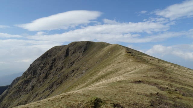 Mweelrea SE SpurMountain / peak · 1.7 mi
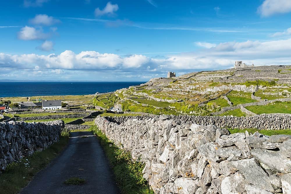 Inis BarnaIslet · 1.9 mi
 GubanillaunHeadland · 2.1 mi
 Lettergesh BeachBeach / strand · 2.2 mi
 DooneenIslet · 2.3 mi
 Silver StrandBeach / strand · 3.2 mi
Other information
Photo: Credit not shown in the picture search · Rights wording not checked; contact us if this picture should be removed