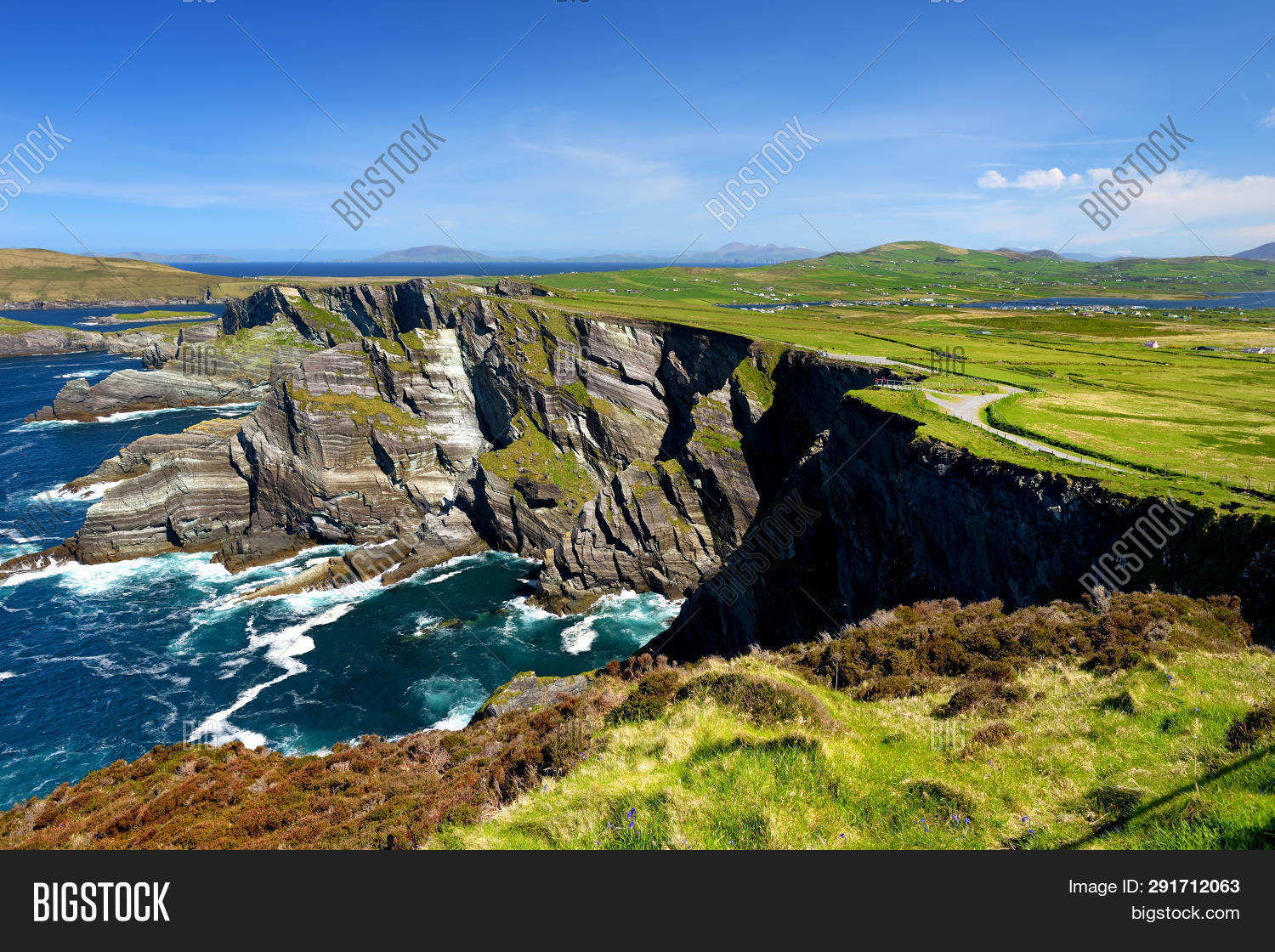
What is recorded here
Toberone/Tobar Eoin: A spring well located on the E side of the roadway which leads from Ballyferriter to Marhin. It is now contained within a drystone-built, lintelled niche at the base of the road boundary wall. Ó Danachair (1960, 78) recorded a tradition that a turas was formerly held here on the 24th of June. Both An Seabhac (1939, 107) and Ó Danachair mention another holy well called Tobar na Rátha, in the townland. However, O'Sullivan (1931, 520) noted that both names applied to the one well, Tobar Eoin being an earlier name for Tobar na Rátha. This appears to be confirmed by the fact that Toberone is the name marked on the OS maps but the site is known locally as Tobar na Rátha.
See attached colour photographs courtesy of Amanda Clarke.
The above description is derived from J. Cuppage, ‘Corca Dhuibhne. Dingle Peninsula archaeological survey. Ballyferriter. Oidhreacht Chorca Dhuibhne’ (1986), no. 957. In certain instances the entries have been revised and updated in the light of recent research.
Date of upload: 7 August 2013
Linked to Saint Eoin (John), the well is traditionally associated with healing and is known as Tobar Eoin in Irish. Such wells were often sites of pilgrimage and local devotion, with customs including the recitation of prayers and the immersion of cloths or stones in the water for curative purposes.
The monument record does not grant public access. Check the route and ask the landowner before entering private land.
- What survives
- Recorded monument
Places near here
 CahernagatFairy fort / stone ringfort · 698 yd
 Cathair na gCatArchaeological place · 707 yd
 Penitential station in Baile An BhaoithínPenitential station · 1311 yd
 Cruach MhárthainMountain / peak · 1426 yd
 St Brendan's WellSpring · 1442 yd
 Ballineanig HillMountain / peak · 1550 yd
 Church (in ruins)Church · 1726 yd
 Músaem Chorca DhuibhneMuseum · 1.1 mi
 Rahinnane Castle (in ruins)Castle, tower house · 1.3 mi
 Riasc Monastic SettlementHeritage attraction · 1.5 mi
 CúlfhaillCliff · 2.0 mi
 Faill na SaorCliff · 2.0 mi
Other information
Photo: Credit not shown in the picture search · Rights wording not checked; contact us if this picture should be removed