
What is recorded here
Tobernasool is a holy well in County Mayo, Ireland, marked on maps from 1838 and 1929. People once gathered there for patterns and rites, but the well no longer draws visitors. A small pool of stagnant water sits in low pasture, bordered by a stone kerb and two steps that lead into the green dark. The abandoned rath nearby still watches the field, waiting for someone to remember why the water was kept clean.
In lowlying, average pasture, close to the junction of two field boundaries.
This holy well is named ‘Tobernasool’ on the 1838 and 1929 OS 6-inch maps. Patterns were held here in the past, but the well is now no longer visited (Pers. comm. Jim Gilvarry 1888). It consists of a pool (c. 4m E–W; c. 3m N–S; D c. 0.7m) of stagnant water, bordered on the E side by a kerb of stones, with two stone steps giving access to the water. There is a rath (MA022-058----) 290m to ENE.
Compiled by: Jane O’Shaughnessy
Date of upload: 2 May 2019
Tobernasool is associated with Saint Sool, a lesser-known early Irish saint, and was historically visited for its supposed curative properties, particularly for skin ailments. Pattern days held at the well included prayers, processions, and offerings, reflecting a blend of Christian and pre-Christian traditions.
The monument record does not grant public access. Check the route and ask the landowner before entering private land.
- What survives
- Recorded monument
Places near here
 IndicatedFairy fort / earthen ringfort · 354 yd
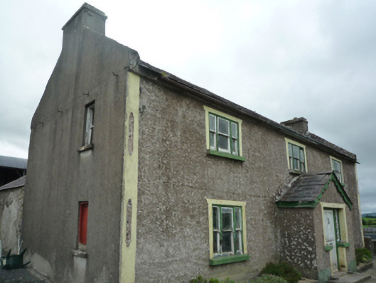 Foxboroughfarm house · 548 yd
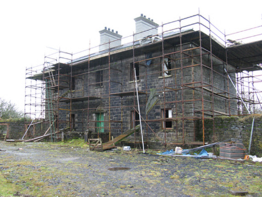 Ballybroony Housecountry house · 1105 yd
 TobernamoltHoly well · 1714 yd
 Bawn in FarraghBawn · 1.0 mi
 Ballinteean CastleCastle · 1.2 mi
 Battle of Killalabattle · 2.7 mi
 Green IslandIslet · 3.1 mi
 Battlefields of MoyneBattlefield · 3.1 mi
 Moyne AbbeyHeritage attraction · 3.4 mi
 Gortabradawn PointHeadland · 3.7 mi
 Rinnaun PointHeadland · 3.7 mi
Other information
Photo: Credit not shown in the picture search · Rights wording not checked; contact us if this picture should be removed