What is recorded here
Marked on the 1839 and 1925 eds of the OS 6-inch map where it is described in gothic lettering as Tobernacrohaneebha – the Well of the Holy Cross. It is situated in a slight fold on a gentle S-facing slope and at the bottom of an E-facing scarp. It is surrounded by drystone walling (diam. c. 2m) and water runs off to the S, but there is no evidence of veneration. Lady’s Well (WX030-037----) is c. 30m to the SSW.
Compiled by: Michael Moore
Date of upload: 16 August, 2012
Tobernacrohaneebha, also known as the Well of the Holy Cross, is associated with Christian pilgrimage traditions and may have been linked to early medieval devotion to the Holy Cross. The site's name and long cartographic history suggest a continuity of sacred use, possibly incorporating pre-Christian elements into its folklore.
The monument record does not grant public access. Check the route and ask the landowner before entering private land.
- What survives
- Recorded monument
Places near here
 Ladys WellHoly well · 33 yd
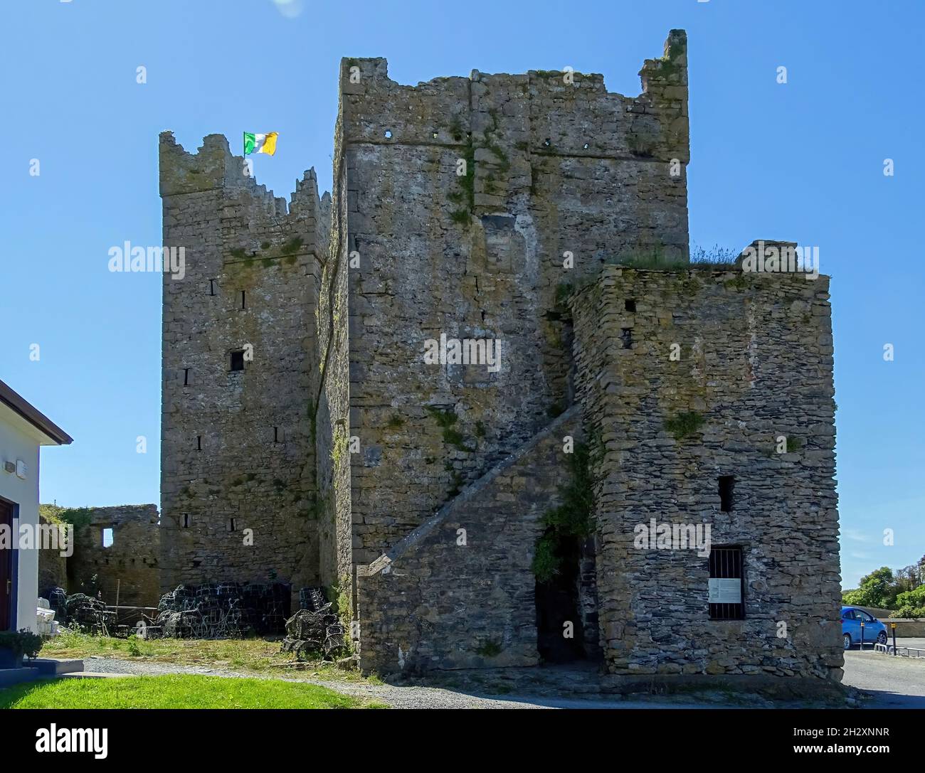 Embanked enclosureFairy fort / earthen ringfort · 708 yd
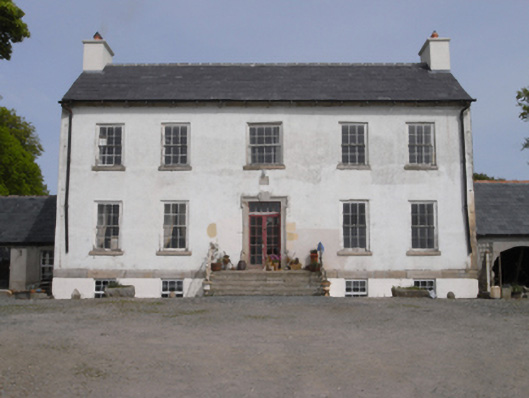 Robinstown Housefarm house · 1.1 mi
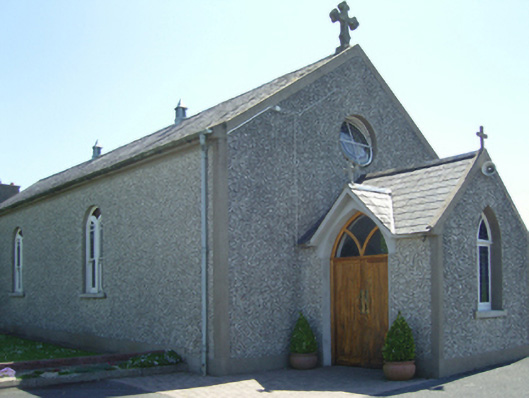 Catholic Church of Saint John Paul IIchurch/chapel · 1.1 mi
 Old Ross MoteCastle, motte and bailey · 1.6 mi
 Site of CastleCastle, unclassified · 1.6 mi
 Carrickmastia HillMountain / peak · 2.2 mi
 Carrickbyrne HillMountain / peak · 2.7 mi
 Glenour MonumentMemorial · 3.4 mi
 Forest Of The DunbrodyForest · 3.6 mi
 1798 RebellionMemorial · 4.4 mi
 Silver WattleSilver Wattle · 5.9 mi