What is recorded here
Marked on all OS eds. Situated on the NE slope of a steep hill. The well has been infilled and there are no visible remains at ground level.
The above description is derived from the published 'Archaeological Inventory of County Cavan' (Dublin: Stationery Office, 1995). In certain instances the entries have been revised and updated in the light of recent research.
Date of upload/revision: 22 December 2008
Linked to Saint Murmod, an early Irish saint associated with several holy sites in the north of Ireland, the well at Toberfin may have been visited for healing or purification rituals, as was common with many early Christian holy wells. Little specific folklore survives for this site, but its location on a prominent hill suggests it may have had both spiritual and communal significance.
This remains an important historical record, but the official description says the monument is no longer visible or has been destroyed. The monument record does not grant public access. Check the route and ask the landowner before entering private land.
- What survives
- No visible remains or recorded as destroyed
Places near here
 The Big Man's GraveArchaeological place · 1274 yd
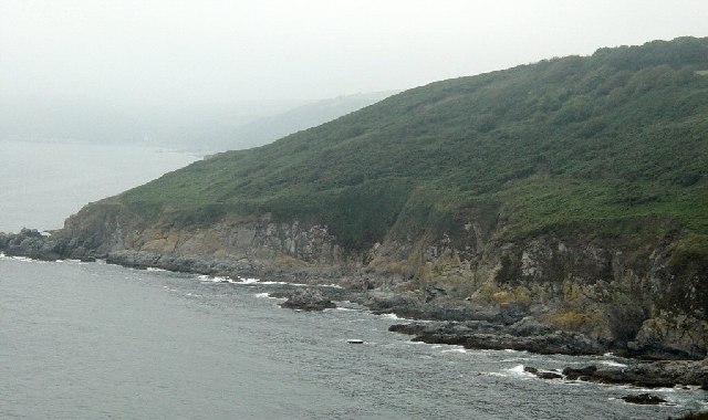 Black RockMountain / peak · 1367 yd
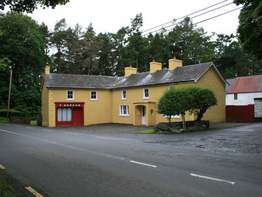 P. Morganfarm house · 1568 yd
 Carraig-na-SasanacNamed rock · 1570 yd
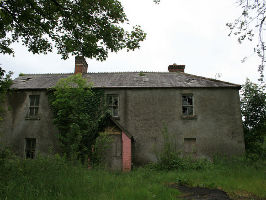 worker's houseworker's house · 1572 yd
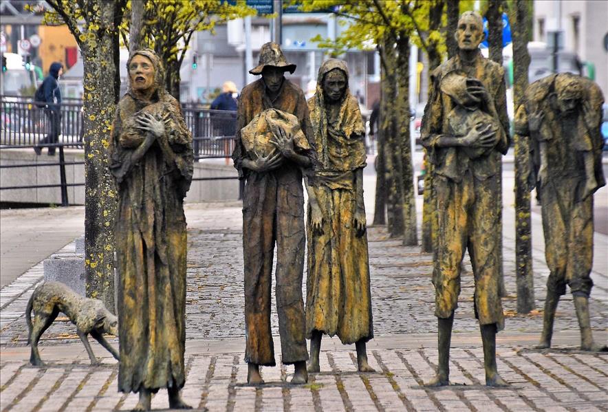 The Great FamineMemorial · 1585 yd
 CornasheskMountain / peak · 1.1 mi
 Roll of HonourMonument · 1.2 mi
 European YewEuropean Yew · 1.2 mi
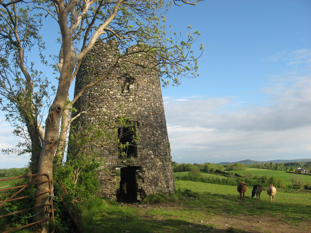 Windmill in Enagh (crossbane Ed)Windmill · 1.3 mi
 Welcome to VirginiaVisitor information · 1.4 mi
 Doon Wet WoodlandWood · 1.4 mi