What is recorded here
Tobercummeen, Ballyclogher, County Mayo is a holy well whose live spring still feeds a stream into Lough Aveely, but the old opening has been capped with concrete, fenced off and placed beside a pump house. The name appears on the 1838 and 1919 Ordnance Survey six-inch maps, and Tobar means well or spring, so the place may have been both a drinking source and a ritual site before it became ordinary water infrastructure. It sits low in reclaimed pasture at the base of a south-west-facing slope, where the water table is close enough that the land itself seems to keep giving up water. What is gone is not the spring but the shape of the relationship people once had with it.
Located in reclaimed pasture, on lowlying ground at the base of a SW-facing slope. The spring feeds a stream that flows SW into Lough Aveely.
This well is named ‘Tobercummeen’ on the 1838 and 1919 OS 6-inch maps. It has been capped with concrete and fenced off. A modern pump house stands adjacent to it.
Compiled by: Jane O’Shaughnessy
Date of upload: 3 December 2021
Tobercummeen is associated with Saint Cummeen, an early Irish monk and scholar linked to Clonfert in County Galway. Traditionally, the well was visited for cures related to eye ailments and general healing, with customs often involving the collection of water on specific feast days.
The monument record does not grant public access. Check the route and ask the landowner before entering private land.
- What survives
- Recorded monument
Places near here
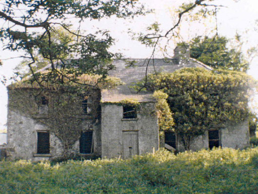 Rockstownfarm house · 1230 yd
 IndicatedEnclosure · 1582 yd
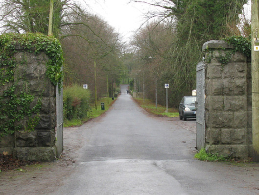 Athavallie Housegates/railings/walls · 1.3 mi
 Round TowerRound tower · 1.4 mi
 CashlankeeghCastle, unclassified · 2.7 mi
 Carrowbeg WoodWood · 2.7 mi
 CastleCastle, ringwork · 2.9 mi
 I'll Send You The FareMemorial · 4.8 mi
 Kiltimagh MuseumMuseum · 5.0 mi
 Oak WoodWood · 6.1 mi
 National Museum of Ireland, Country LifeMuseum · 6.4 mi
 Thorn CaveCave · 7.5 mi