What is recorded here
Toberconnelly was a holy well in Galway marshland, mislabelled on maps for a century before the real spring emerged south of the Eiscir River. People likely drew water there for healing or blessing, then forgot the exact spot because marshes shift and memory fades. The well was filled in around 1960 to keep livestock safe, erasing the place from everyday life but not from local imagination.
In marshland c. 5m to the S of the Eiscir River but indicated and named ‘Toberconnelly’, in Gothic script, on the 1838 and 1933 editions of the OS 6-inch map. This area was checked out by Cody (1989, 335-6) but it was not found. According to the landowner, the well, which was locally regarded as a holy well, was in fact located to the S of the river. A well is also indicated here on the 1933 edition of the map, suggesting that the well to the N was incorrectly labelled. It was a spring well that was filled in c. 1960 as it was hazardous to livestock. No visible surface trace of it survives.
Compiled by: Galway Archaeological Survey, UCG
Date of upload: 9 May 2023
The monument record does not grant public access. Check the route and ask the landowner before entering private land.
- What survives
- Recorded monument
Places near here
 IndicatedEnclosure · 239 yd
 Enclosure in BottomEnclosure · 264 yd
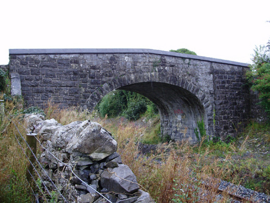 Farranablake Bridgebridge · 950 yd
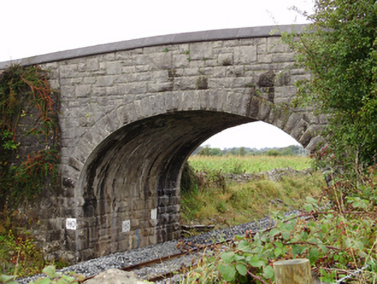 Rockfield Bridgebridge · 1063 yd
 Athenry AbbeyHeritage attraction · 1.4 mi
 Athenry CastleHeritage attraction · 1.5 mi
 Castle or King Johns Court (in ruins)Castle, Anglo-Norman masonry castle · 1.6 mi
 Moyard WoodWood · 1.6 mi
 Horse-chestnutHorse-chestnut · 1.8 mi
 Moyode CastleCastle · 2.2 miFirst Battle of Athenrybattle · 2.3 mi
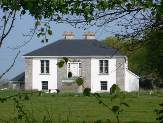 Rockmorehouse · 1266 yd
Other information
Photo: Credit not shown in the picture search · Rights wording not checked; contact us if this picture should be removed