
What is recorded here
Toberabanaha is a partly collapsed wedge tomb on a narrow shoulder of Sugarloaf Mountain, overlooking Bantry Bay but buried in bog. Its chamber measures 3.3 metres long and one metre wide, aligned northeast to southwest within an 8.5 by 7 metre mound. People may have placed the dead there during the Neolithic period, using the clear view across the bay to mark the boundary between the living world and the afterlife.
On narrow level shoulder on S-facing upper slope, at end of W extension Sugarloaf Mountain overlooking Bantry Bay; buried in bog. Partly collapsed gallery (L 3.3m; Wth c. 1m) aligned NE-SW; each side represented by two sidestones, backstone at E end, fallen closing or septal-stone to W. Two displaced roofstones lie in chamber area, covering two fallen outer-wall stones to N. Incorporated in mound, 8.5m by 7m. (O Nualláin 1989, 136)
The above description is derived from the published 'Archaeological Inventory of County Cork. Volume 1: West Cork' (Dublin: Stationery Office, 1992). In certain instances the entries have been revised and updated in the light of recent research.
Date of upload/revision: 14 January 2009
Neolithic passage tomb, dating to c. 3500–2500 BCE. Its location overlooking Bantry Bay suggests ritual or ceremonial significance related to landscape and water access in early Irish society.
The monument record does not grant public access. Check the route and ask the landowner before entering private land.
- What survives
- Recorded monument
Places near here
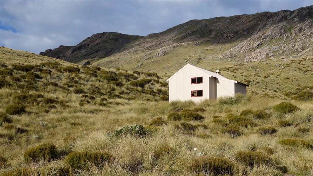 Hut site in Curraduff (bear By., Kilcaskan Par.)Hut site · 496 yd
 Enclosure in BallynahownEnclosure · 656 yd
 Nareera South-West TopMountain / peak · 887 yd
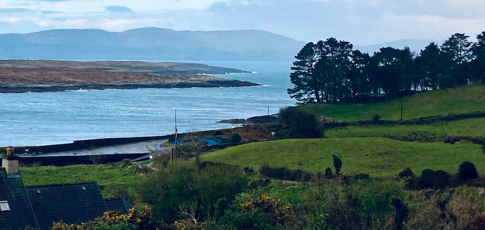 Nareera North TopMountain / peak · 1749 yd
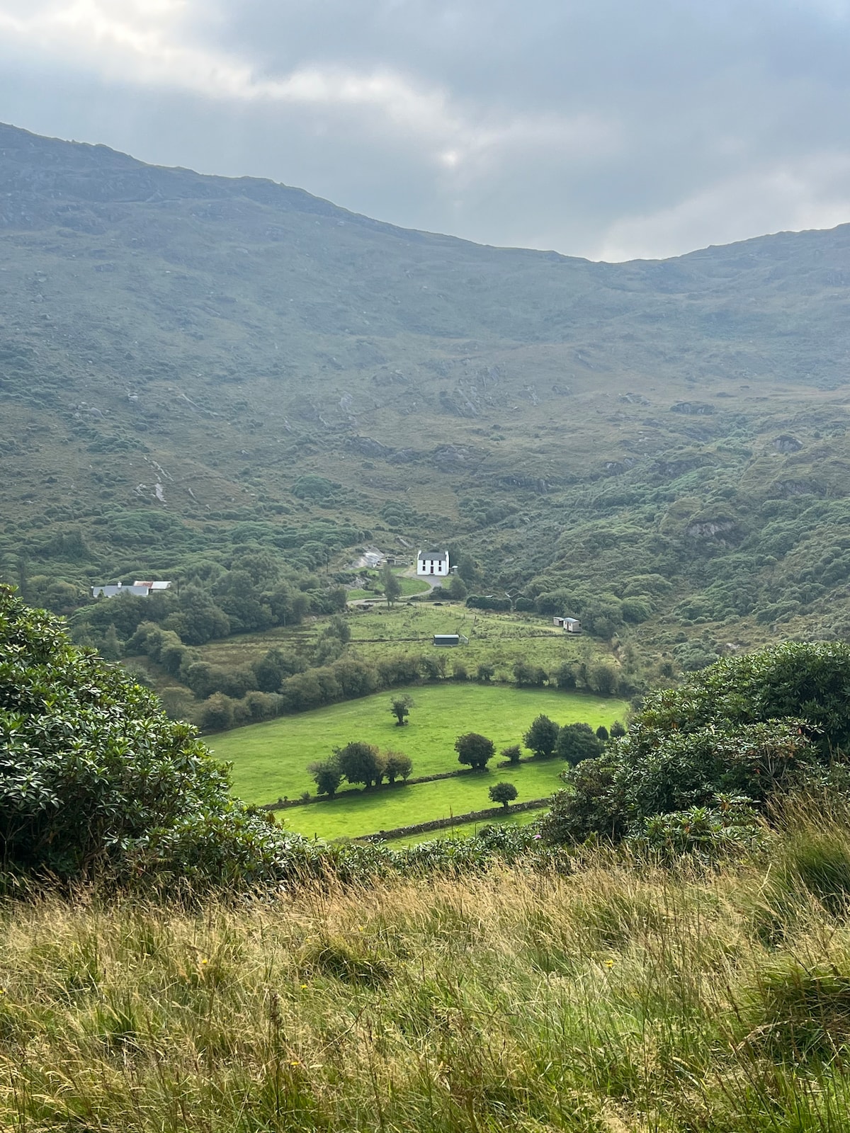 Ahnaclaha BrBridge · 1.1 mi
 RoadRoad, unclassified togher · 1.4 mi
 Old Stone CottagesHeritage attraction · 2.4 mi
 Hungry Hill GalleryGallery · 2.6 mi
 Mehal HeadHeadland · 2.6 mi
 Graveyard in DrumlaveGraveyard · 2.7 mi
 Shot HeadHeadland · 2.8 mi
 Orthon's IslandIslet · 3.1 mi
Other information
Photo: Credit not shown in the picture search · Rights wording not checked; contact us if this picture should be removed