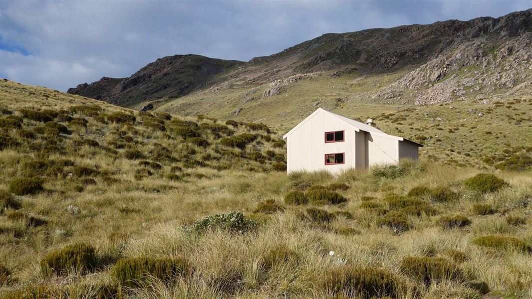
What is recorded here
In rough grazing, atop slight rise, on lower slopes of Caha mountain. Ruined remains of circular hut (6m N-S; 6m E-W) defined by six orthostats NE->W, two upright (H 0.85m; H 0.55m), others leaning heavily. According to local information other similar stones removed in recent past. Pair of upright parallel stones (1.3m apart) at right angles to and 4.5m to ESE of hut. North stone: (H 0.65m; 0.55m x 0.1m). South stone: (H 1.1m; 0.55m x 0.2m). Row of three low orthostats, leaning heavily, extends from S stones towards hut (pers. comm. S. Ó Nuallain).
The above description is derived from the published 'Archaeological Inventory of County Cork. Volume 1: West Cork' (Dublin: Stationery Office, 1992). In certain instances the entries have been revised and updated in the light of recent research.
Date of upload/revision: 14 January 2009
The monument record does not grant public access. Check the route and ask the landowner before entering private land.
- What survives
- Recorded monument
Places near here
 ToberabanahaWedge tomb · 496 yd
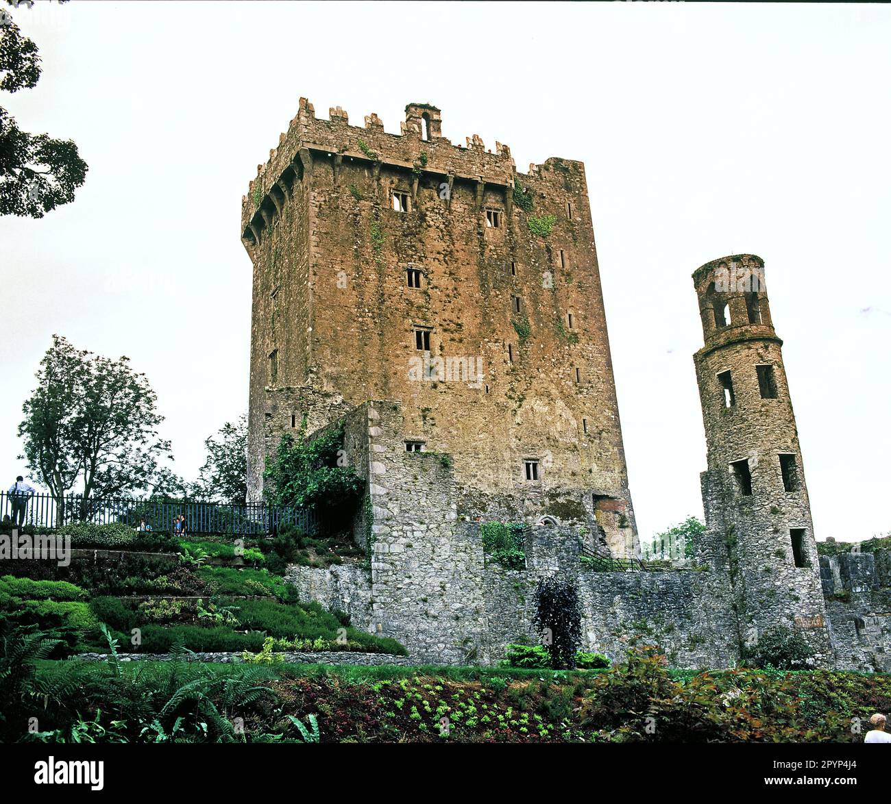 Structure in Lackavane (bear By.)Structure · 682 yd
 Nareera South-West TopMountain / peak · 759 yd
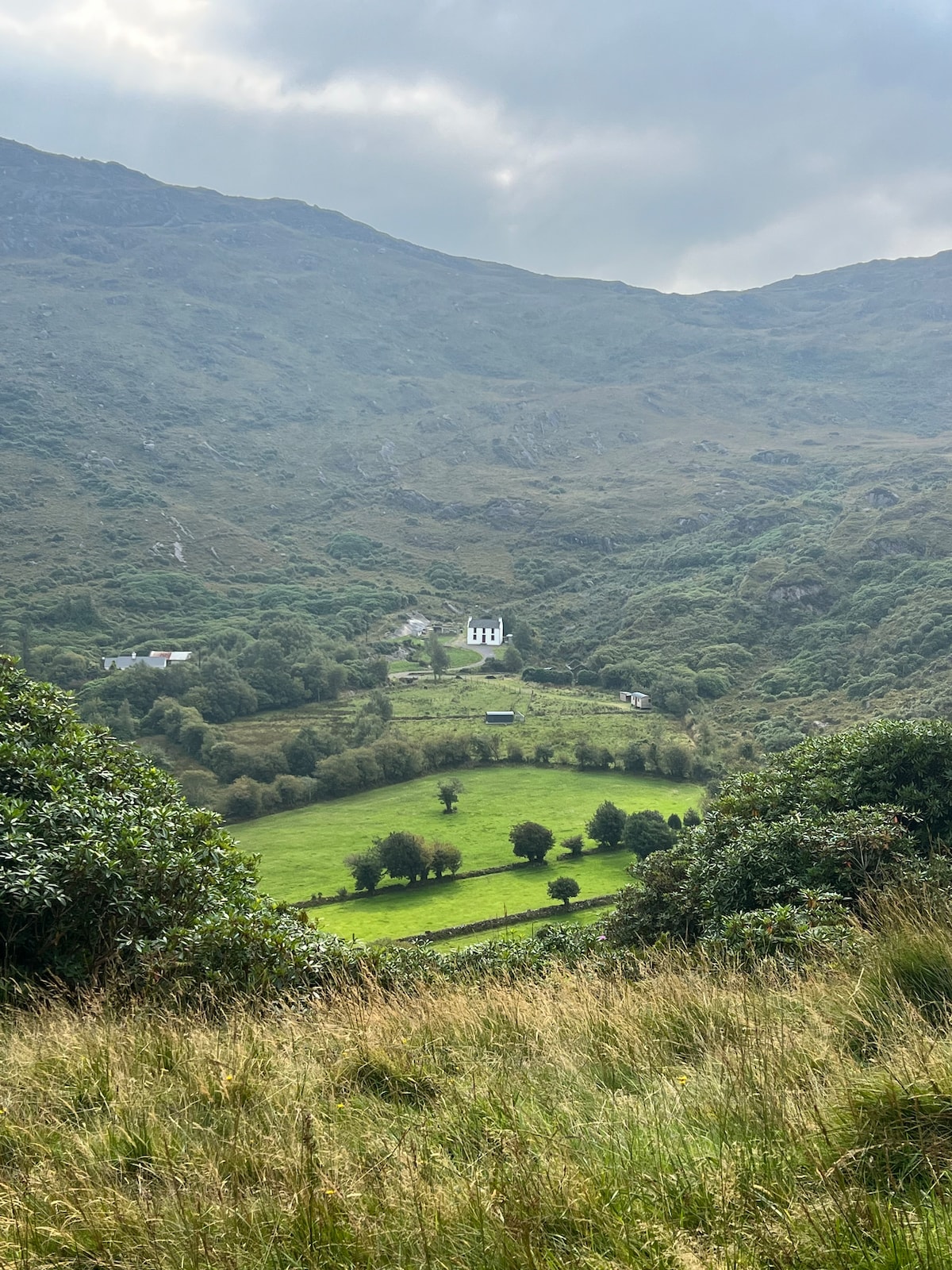 Ahnaclaha BrBridge · 1442 yd
 Sugarloaf Mountain West TopMountain / peak · 1470 yd
 RoadRoad, unclassified togher · 1.7 mi
 Old Stone CottagesHeritage attraction · 2.2 mi
 Mehal HeadHeadland · 2.6 mi
 Hungry Hill GalleryGallery · 2.8 mi
 Shot HeadHeadland · 2.9 mi
 Graveyard in DrumlaveGraveyard · 2.9 mi
 Garinish WestIslet · 3.0 mi
Other information
Photo: Credit not shown in the picture search · Rights wording not checked; contact us if this picture should be removed