
What is recorded here
Castle Lower stands as a two-storey ivy-clad ruin on the Argideen river, though it rose four storeys high in 1907 before an explosion and council cuts chopped it down. David Barry and Ellen Roche carved their names and the date 1586 into a window transom, marking the moment they shaped the stone for their own use. The NE corner has collapsed, the mural stairs still climb inside the walls, and the river carries the shape of what is gone past the junction with the Courtmacsherry estuary.
Ivy-clad remains of tower (13.4m N-S; 10.8m E-W) on W bank of Argideen river near junction with Courtmacsherry estuary. Tower now two storeys; photo of 1907 (Fuller 1907, 8) shows four storey tower with gables and chimney stacks; castle damaged by explosion in 1920s, reduced in height by Cork County Council in 1930s. NE corner collapsed. Ground floor doorways with pointed arches in E and S walls; S door covered by gun loop. Double-splayed windows at ground-floor level. Door in W wall at 1st-floor level leads to mural stairs; door in E wall has mural stairway rising from N ingoing, mural chamber off S ingoing. Window transome (now on ground at foot of S wall) bears inscription "DB ET ER ME FECET" on one face and "1586 AUGUST 1" on another (DB is David Barry and ER his wife Ellen Roche). This inscription probably dating refurbishment; similar inscription cut on window transom at Barryscourt Castle in east Cork.
The above description is derived from the published 'Archaeological Inventory of County Cork. Volume 1: West Cork' (Dublin: Stationery Office, 1992). In certain instances the entries have been revised and updated in the light of recent research.
Date of upload/revision: 14 January 2009
Timoleague Castle, Castle Lower was built in the 15th century by the O'Driscoll clan, a prominent Gaelic family in west Cork. It is remembered as a strategic stronghold in the region and for its association with the historical power struggles between the Gaelic Irish and English authorities.
The monument record does not grant public access. Check the route and ask the landowner before entering private land.
- What survives
- Recorded monument
Places near here
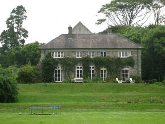 Timoleague Househouse · 26 yd
 Timoleague House (Original)Ruins · 201 yd
 Argdeen Valley TrailVisitor information · 417 yd
 Timoleague FriaryVisitor information · 421 yd
 Timoleague AbbeyHeritage attraction · 484 yd
 Grave YdGraveyard · 538 yd
 TobernabantiernaHoly well · 693 yd
 Rail SignalHeritage attraction · 774 yd
 Kilnamanagh WoodWood · 829 yd
 Johnny Sheila MurphyMemorial · 1.1 mi
 Burrane Castle (Site of)Castle, unclassified · 1.4 mi
 War MemorialMemorial · 1.9 mi
Other information
Photo: Garry Dickinson · CC BY-SA 2.0