What is recorded here
Situated on an elevated plateau, gently sloping to the SE, with extensive views towards Tory Hill to the east, as well as views to the west and south. Excavated in 2006 in advance of the N9/N10 Kilcullen to Waterford Road Scheme (Excavation licence no. E3001). In the centre of a series of structures (see KK040-089----) in a substantial area of previously unknown prehistoric activity varying in date from the Early Neolithic to the Late Bronze age. A circular arrangement (outer diam. c. 8m) of 11 post-holes (D 0.36-0.51m; diam. 0.3-0.68m) between 1.5m and 1.75m apart, aligned in pairs with an entrance porch or avenue at SE (Wth 1.8m) and a central post in the middle of the circle. Charcoal from the entrance area returned a radiocarbon date of 1043-918 cal BC (UBA-13991). (Monteith 2009, 285-6, no. 1092; Monteith 2010)
Compiled by: Mary Tunney
Date of upload: 30 October 2013
The monument record does not grant public access. Check the route and ask the landowner before entering private land.
- What survives
- Recorded monument
Places near here
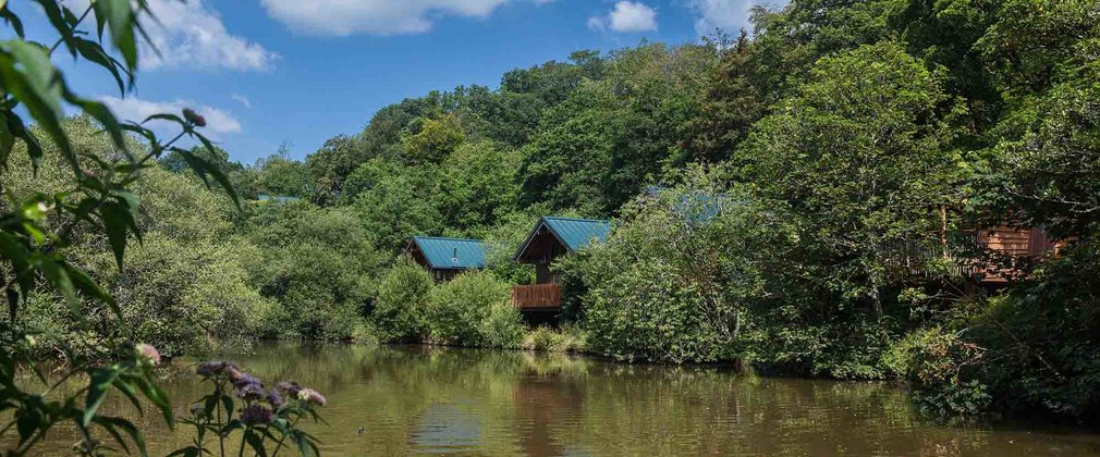 Deerpark Ringfort (rath)Archaeological place · 418 yd
 Rochestown Ringfort (rath)Archaeological place · 861 yd
 IndicatedPenal Mass station · 902 yd
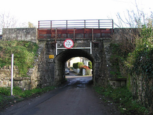 bridgebridge · 968 yd
 Clonassy WoodForest · 1051 yd
 CastleCastle, unclassified · 1485 yd
 Poulanassy WaterfallWaterfall · 1.5 mi
 Tory HillMountain / peak · 1.7 mi
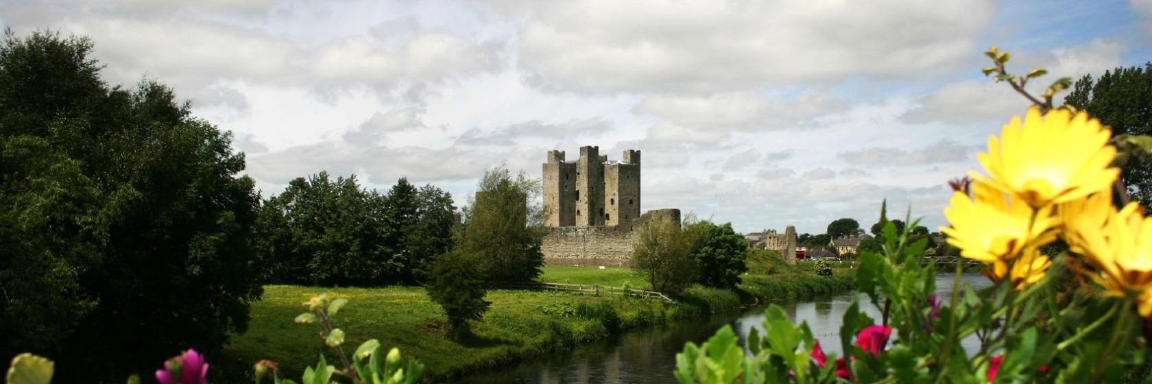 Dangan Castle (Site of)Castle, unclassified · 1.8 mi
 Ballynaboley WoodForest · 3.0 mi
 Portlaw Heritage CentreMuseum · 7.8 mi
 Mount Congreve GardensHeritage attraction · 7.9 mi