What is recorded here
The official Northern Ireland record identifies this as THREE CIST BURIALS. Recorded period: BRONZE AGE; PREHISTORIC. The official map point was placed at the centre of the recorded archaeological site from the source map reference.
Bronze Age cist burials; likely 1200–800 BCE. These burials represent prehistoric funerary practices in the region, reflecting early ceremonial and social structures.
The monument record does not grant public access. Check the route and ask the landowner before entering private land.
- What survives
- Recorded monument
Places near here
 ENCLOSURE in CarnanreaghENCLOSURE · 1022 yd
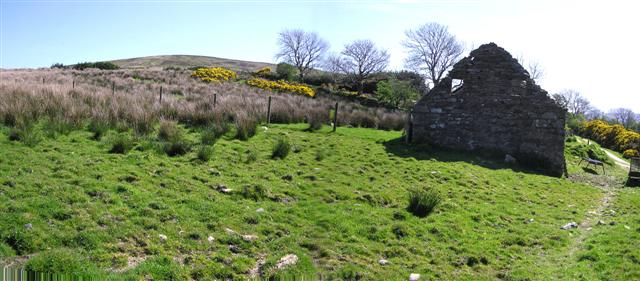 CrockdooishMountain / peak · 1.1 mi
 CROSS-CARVED STONE in AltaghoneyCROSS-CARVED STONE · 1.2 mi
 Learmount CastleCountry House · 2.5 mi
 Learmount WoodWood · 2.6 mi
 Chambered GraveArchaeological place · 3.5 mi
 MULTIPERIOD CHURCH & GRAVEYARD (Early Christain-C18th) in CumberMULTIPERIOD CHURCH & GRAVEYARD (Early Christain-C18th) · 3.5 mi
 MullaghasturrakeenMountain / peak · 3.8 mi
 Altinaghree CastleCastle · 3.9 mi
 Claudy bombingbomb attack · 3.9 mi
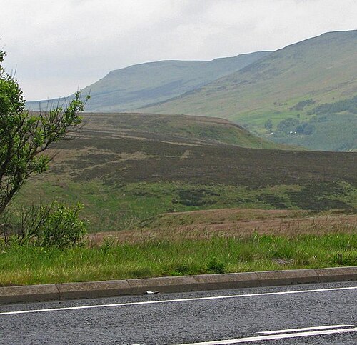 Sperrin MountainsMountain range · 4.9 mi
 Sperrins landscapeHeritage attraction · 5.0 mi